Mountain View Acreage
Fort Garland, CO 81133
Costilla County, Colorado
Land Description
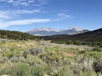
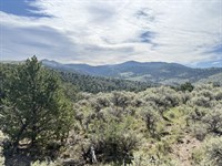
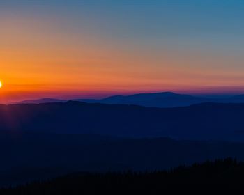
5.24 Acres with Panoramic Views in Sangre de Cristo Ranches
Fort Garland, CO 81133 | Costilla County
Picture your morning coffee with Mount Blanca views at 8,354 feet elevation. This 5.24-Acre parcel in Sangre de Cristo Ranches offers year-round access via county-maintained Slegers Road. Perfect for an off-grid cabin, hunting basecamp, or future family retreat where elk roam free and stars shine bright.
The Land:
Size: 5.24 acres
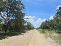
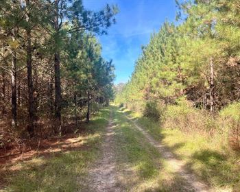
Access: Maintained road frontage on Slegers Road
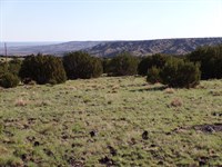
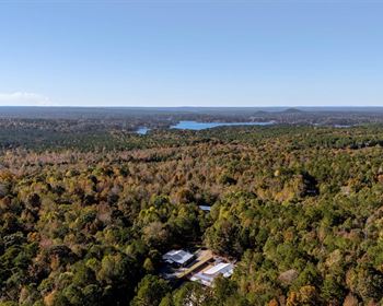
Terrain: Gently sloped with scattered trees and open buildable space
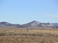
Views: Mount Blanca (Colorado's 4th highest peak), Sangre de Cristo range, wide valley vistas
Wildlife: Elk, mule deer, turkey, bear, antelope in the area
Location & Activities:
13 min to Fort Garland
45 min to Great Sand Dunes National Park & Smith Reservoir
1 hr to Mt. Blanca trailhead
Hunting: GMU 83 with OTC elk tags
Camping: 14 days every 3 months (extend with septic permit)
Building & Utilities:
Zoning: Estate Residential (site-built or post-1976 manufactured homes)
Water: Well or cistern (Division of Water Resources)
Power: Solar recommended; Xcel Energy available)
Sewer: Septic system (Costilla County permit required)
Gas: Propane - A-1 High Valley or La Veta Propane
Legal:
Apn: 70236240
Legal Description: S.D.C.R. Unit J BLK 114 Lot 1760 Cont. 5.243 Ac
Annual Taxes: $338 (2024)
Hoa/Poa: Voluntary Association ($25/Year optional)
GPS Coordinates:
37.3604 N, 105.3550 W
Drive Times:
1 hr 48 min to Pueblo
2.5 hrs to Colorado Springs
3.5 hrs to Denver
Properties in this area don't last long. Secure your piece of the Rockies today.
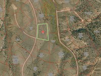
Land Maps & Attachments
Directions to Land
Driving Directions from Fort Garland, CO:
From downtown Fort Garland, take Pfeiffer Avenue to US-160 E/4th Avenue. Turn left at the first cross street onto US-160 E and continue for about 2 miles. Turn left onto Trinchera Ranch Road N and follow for approximately 6.7 miles, continuing onto County Lane 6. Turn right onto Slegers Road and follow to the property area.
More Land Details
More Land from Collin Pettet
 New5.1 AC : $12.5K
- 4.9 AC : $9K
- 40 AC : $40K
- New6.2 AC : $34.2K
- New0.5 AC : $18K
- New0.2 AC : $9K
- 0.2 AC : $9K
- 5.1 AC : $12.5K
- New5.1 AC : $12.5K
- New0.2 AC : $9K
- 0.2 AC : $9K
- 1 AC : $8.5K