Giddy up at The Navajo County Fair
Concho, AZ 85924
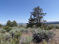
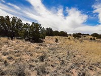
Apache County, Arizona
Land Description
Owner Financing:
- $100 down (plus the $250 doc fee)
- $100 down $115/Mo for 72 months (plus prorated taxes and a $12/Mo note maintenance fee)
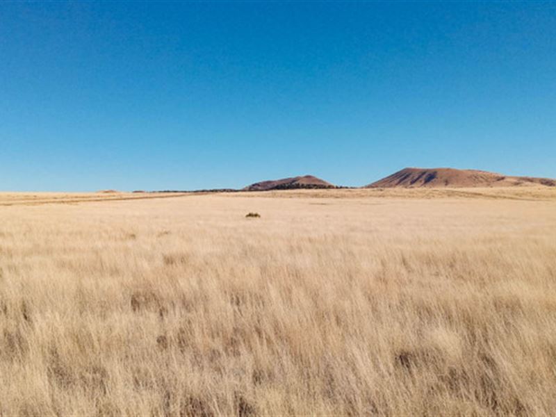
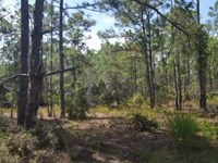
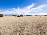
Concho is situated close to the border of New Mexico and just off of Route 61 in Arizona in Apache County. You'll be just a stone's throw from any number of Native American reservations, national forests, and historic monuments in the area. Hit the links at nearby Concho Valley Country Club or head to Concho Lake for a little fishing.
There is no shortage of places to explore, including your pick of national forests. The Apache Sitgreaves, Tonto, Coconino, or the infamous Petrified Forest are all within driving distance. The area surrounding Concho area was once populated by Indigenous Ancestral Puebloan peoples, with many of the original pueblos still in tact. This part of Apache County has the most Indian reservation designated land of any county in the United States. The ancestors of the existing Apache and Navajo tribes in Arizona may have settled in the area as early as 1100 Ad.
Apache County has no time limit to build and pretty much no restrictions when it comes to what to build and how big (or how small). Single family homes, mobile homes, manufactured homes and even RV's (with the right permits) are ok. You can camp temporarily and for a longer stay a permit can be obtained. There's no time like the present so give us a call today to secure this beautiful piece of land.
Subdivision: Concho Lakeland
STREET Address: N/A, near N3534, Concho, AZ 85924
State: Az
COUNTY: Apache County, Az
Zip: 85924
Size: 1.00 acres
LOT Dimensions: 62 feet (Northern Leg) x 318 feet (Eastern Leg) x 222 feet (Southern Leg) x 358 feet (Western Leg)
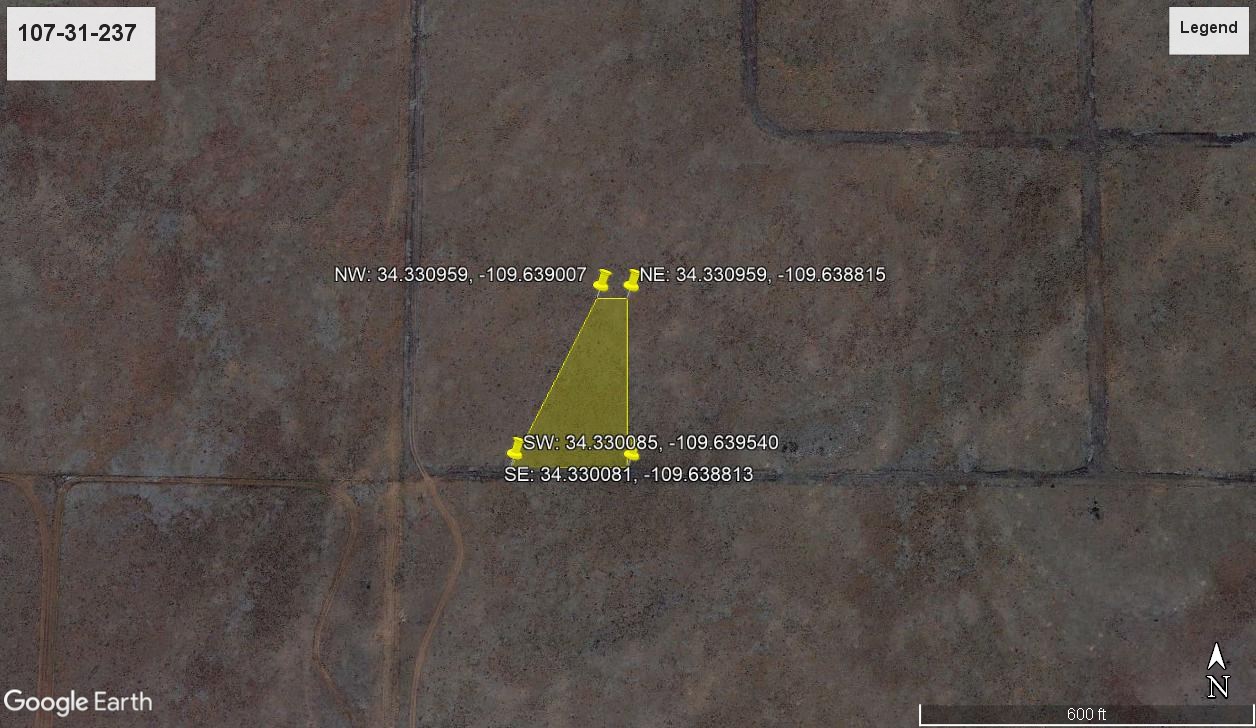
Apn: 107-31-237
Legal Description: 107-31-237 Concho Lakelands 3 Lot 412
Lat/Long Coordinates:
Nw: 34.330959, -109.639007
Ne: 34.330959, -109.638815
Sw: 34.330085, -109.639540
Se: 34.330081, -109.638813
Elevation: 6,645 feet
ANNUAL Taxes: Approx. $45 per year
ZONING: Agricultural General - You can build anything for residential purposes such as Single Family, Mobile or Manufactured home are allowed. No time limit to build. No restrictions on dwelling size. Camping & RV's are okay as well (permits required for long-term stay, more than 30 days).RV's should be at least four hundred (400) square feet, constructed to be towed on its own chassis and designed so as to be installed with or without a permanent foundation for human retail occupancy and/or dwelling residence. Camping in an RV's must be inspected by the Planning and Zoning office to ensure all plumbing and electrical is in working order prior to application approval. It could long term as long as it was approved by the Apache Health Office. Please contact the Apache County Planning & Zoning Dept. through Devin Brown.
Flood Zone: No
HOA/POA: No
IMPROVEMENTS: None
ACCESS: Property can be accessed via N3534.
Water: Would be a well, water haul and holding tank or other similar option
SEWER: Would be by Septic
UTILITIES: Power by solar, wind or generator, Phone by cellular, satellite Tv/Internet/Phone
Land Maps & Attachments
More Land Details
More Land from Landopia, LLC
 2.8 AC : $23K
- 0.8 AC : $16.5K
- 5 AC : $15.1K
- 0.2 AC : $12.8K
- 5 AC : $14.2K
- 0.5 AC : $19.3K
- 2.5 AC : $23K
- 0.6 AC : $19.8K
- New0.2 AC : $3.2K
- 1.6 AC : $10.9K
- 1.1 AC : $5.5K
- 5.7 AC : $14.6K


