Your Peaceful Escape
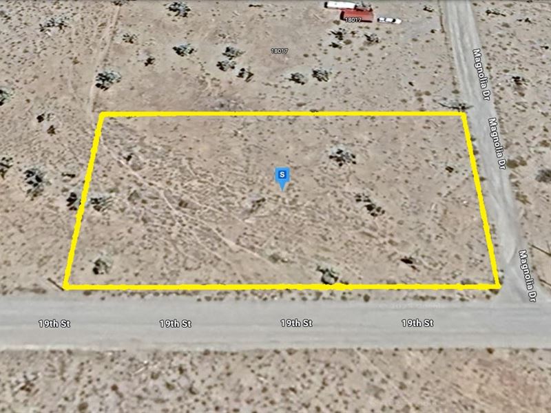
W 19th St & N Magnolia Dr : Dolan Springs, AZ 86441
Mohave County, Arizona
Land Description
Attention Investors, Flippers, and Wholesalers:
Gold Rush Club Deal - Way Below Market Value.
Perfect for Quick Flips, Strong Margins, and Long-Term Gains.
Reserve NOW with Just $500 Down-Then Pay the Balance in Full or in 12 Easy Monthly Payments.
Call Or Text Us Now For Availability.
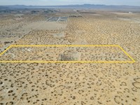
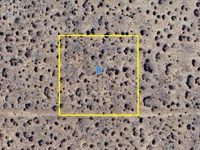
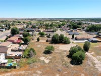
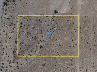
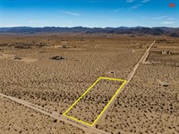
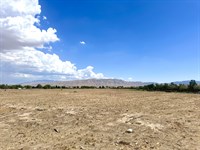
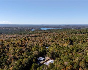
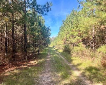
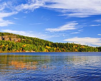
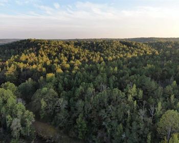
Discover the perfect blend of peaceful living and accessibility on this 1.07-Acre property in Dolan Springs, Mohave County, AZ. Nestled in a quiet area with scenic surroundings, this spacious lot comes with nearby power lines and easy dirt road access for a smooth start to your plans. It offers great potential for a homestead, retreat, or investment and you'll love the balance of serenity and connection to key destinations.
Just 16 minutes away, Chevron offers added convenience for fuel and essentials, while Kingman is only 44 minutes away for more amenities and services. For exciting getaways, Las Vegas is just an hour and a half drive. Make this peaceful escape your next opportunity.
Call Now Or Text Us For Availability.
Easy roll-on, roll-off access.
Zoned for Residential and Agricultural Use.
Electricity: YES - Power Lines are There.
Primary Road: Dirt Road Access.
Water: Would be by Well or from Alternative Sources.
Call Us Now.
Cheap and Affordable Vacant Land For Sale in Dolan Springs
Flexible Financing Options are Available
Owner Financed Rural Land in Arizona
Undeveloped Property For Sale With Direct Road Access
For Residential and Agricultural Development in Mohave County
Buildable Land With Power Access
Desert Land With Mountain Views
Finance Land Near Entertainment Hubs
Farm and Ranch Land Ideal For Farming and Harvesting Crops, Grazing Livestock
Perfect for Hiking, Hunting, and Fishing Enthusiasts, Being Close to Recreational Areas
Quiet and Friendly Neighborhood
Located Near Schools, Parks, Shops, and Restaurants
Not in Flood Zone and Wetlands
Property Within Secured Subdivision
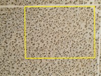
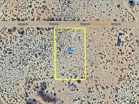
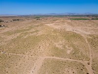
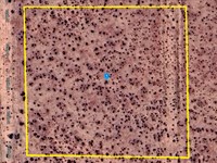
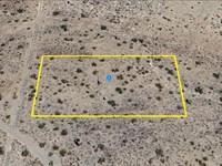
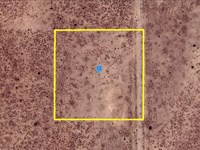
Land Maps & Attachments
Directions to Land
Center of Lot, GPS Coordinates: 35.648116, -114.248996
GPS Coordinates for Corners of the Property:
Nw: 35.648346, -114.249447
Ne: 35.648347, -114.248542
Se: 35.647885, -114.248543
Sw: 35.647883, -114.249448
More Land Details
Land Price History
More Land from Patrick Elder
 7.5 AC : $40K
- 10 AC : $33K
- 1 AC : $20K
- 8.9 AC : $31K
- 2.5 AC : $14.5K
- 0.7 AC : $24K
- 1.1 AC : $5K
- 2.5 AC : $18K
- 0.1 AC : $18K
- 2.6 AC : $12K
- 1 AC : $14.5K
- 2.5 AC : $6K