26 Acres with Power & Water Rights
W Miami Street : Tonopah, AZ 85354
Maricopa County, Arizona
Land Description
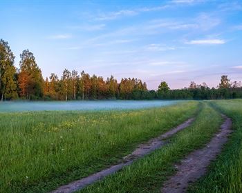
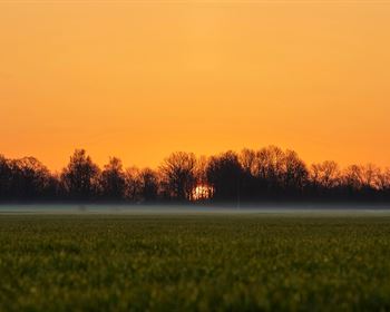
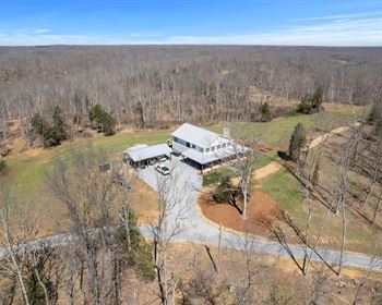
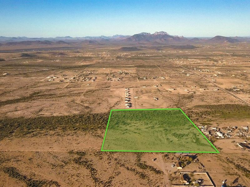
Never lose sight of the mountains on this expansive 26.6 Acre property with grandfathered water rights in Maricopa County, Arizona. This is the perfect blank canvas to build your dream from the ground up, showcasing blue skies, vibrant sunsets, and spectacular Milky Way displays. Even better, you can catch spectacular panoramic views from almost every angle on the property. It's almost hard to believe this stunning wild-west acreage is just 25 minutes from everything you need in Buckeye. The property is located in the fast-growing Tenopah area which is the proposed location of Bill Gates's new Smart City.
This diverse parcel transforms from east to west. The eastern portion is open, displaying the copper state's iconic desert plains. Meanwhile, the western half is denser with vegetation and a variety of striking desert plants, providing refuge for birds and small wildlife.
Access & Electricity
There's access to the property via W. Miami Street coming in from the east. Electricity runs along the northern and eastern boundaries. Currently, there is a fenced-in area near the northeast corner of the property. Corner markers are present at most property corners for clear boundary markings.
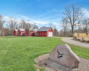
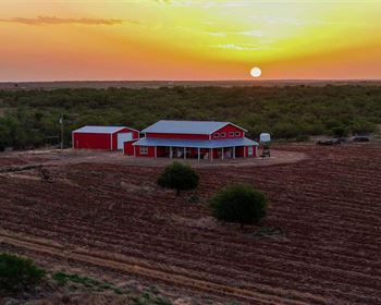
There is no HOA fee, and farming, livestock, and manufactured homes are permitted. Out here, you're free to craft your vision. Build a pool, produce farm-fresh eggs, ride horseback beneath the stars, or blaze new ATV trails. This is your domain.
The property is about 23 minutes from Buckeye, which has Walmart, grocery stores, Lowes, restaurants, hotels, and emergency healthcare-all right off I-10. For the basics, Wintersburg is just 2.4 miles away and offers a gas station, dollar general, and a restaurant.
About Maricopa County
From watering hole to stagecoach stop and railroad junction to productive farmland, Maricopa has played an integral part in U.S. history. Over time, farmers and ranchers found that, in addition to cattle ranching, cotton, alfalfa, melons, and lemons grow well in this soil and climate, too.
Maricopa County is known as the “little city in the desert.” Maricopa's unique vantage point in the middle of the Sonoran Desert offers magnificent views of the Sierra Estrella Mountain Range, Eagletail Mountains, White Tank Mountain, Palo Verde Mountains, Saddleback Mountain, and Haley Hills. Some of these mountains and regional parks are just a 30-40-Minute drive from the property, so you have endless trails to explore.
Wildlife & Recreation
The winding Gila River corridor abounds with fish and wildlife. Mule deer, coyote, javelina, and bobcat frequent the riverbanks and desert plains. Dove, quail, hawks, eagles, and osprey forage and fly overhead. As the name suggests, reptiles like the Gila monster, Sonoran Desert toad, sidewinders, and diamond-backed rattlesnakes also call this area home.
Fish the Gila River and connecting canals largemouth bass, sunfish, several species of catfish, Apache trout, and the protected Gila trout. Even in dry months, locals know of holes and craters where fish hide until the river rises.
Robins Butte Wildlife Area & Game Preserve is just 18 miles from the property and sits along the Gila River. Seasonal hunting is permitted.
No matter how you envision your slice of the Sonora, you have the freedom and space to dream, explore, build, and experience all the wild west has to offer.
Place a deposit today to stake your claim in the wild west just outside Buckeye, Arizona.
Property Specifications
Parcel Size: 26.6 Acre M/L
Property ID: Az_Maricopa_00001
Elevation: 980 feet
Property Taxes: per year
HOA Fee: None
Title: Free & Clear
Conveyance: Warranty Deed
Nearby Towns & Cities
2.4 miles to Wintersburg, AZ : Population 50
16.7 miles to Buckeye, AZ : Population 91,500
49.1 miles to Phoenix, A0 : Population 1,600,000
58.1 miles to Scottsdale, AZ : Population 241,000
64.3 miles to Mesa, AZ : Population 504,000
159 miles to Tucson, AZ : Population 543,000
Nearby Points of Interest
34.4 miles to Estrella Mountain Regional Park
42.1 miles to White Tank Mountain Regional Park
67.7 miles to Lake Pleasant
82.8 miles to McDowell Mountain Regional Park
96 miles to Prescott National Forest
104 miles to Organ Pipe Cactus National Monument
107 miles to Tonto National Forest
GPS Coordinates
Northwest Corner: 33.41869, -112.828785
Northeast Corner: 33.418687, -112.82446
Southeast Corner: 33.416284, -112.824463
Southwest Corner: 33.416286, -112.828787
Center Point: 33.417492, -112.826647
Call or Text anytime for questions or to purchase this property. Please reference the Property ID: Az_Maricopa_00001
If You Have Property You Are Looking to Sell, visit our website.
For Directions, Please Call or Text Us Anytime. Please reference the Property ID: Az_Maricopa_00001