Invest with Camping & Great Views
Wyatt Rd : Alturas, CA 96101
Modoc County, California
Land Description
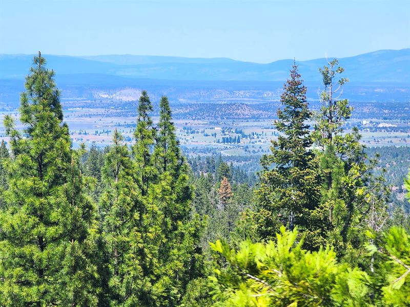
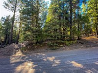
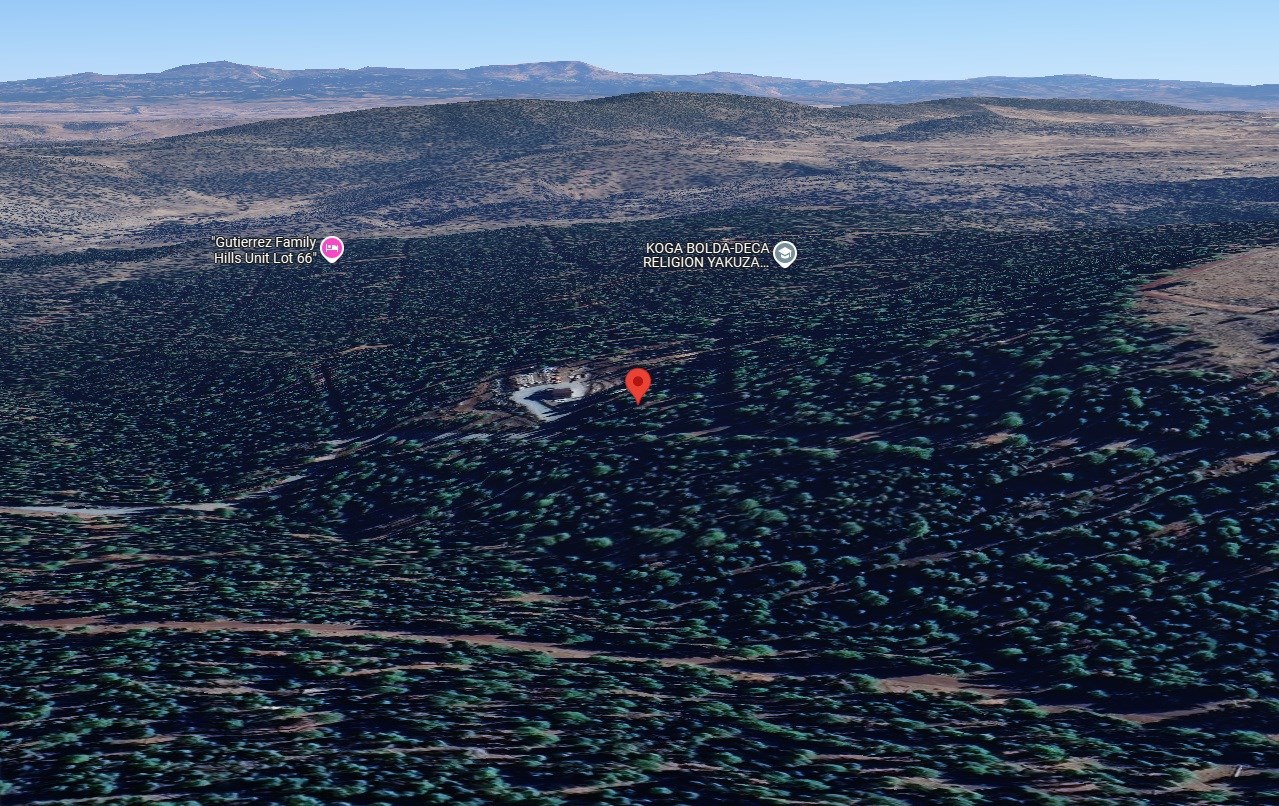
This 0.9-Acre property on Buckboard Rd / Wyatt Rd, Alturas, CA, offers the perfect blend of mountain living, investment, and outdoor adventures, all in a peaceful, serene environment. Whether you're ready to settle down for retirement, this land provides the ideal location to make your dreams a reality. Wake up to stunning mountain views and exploring the endless outdoor adventures surrounding you.
For retirees, this land offers an affordable and tranquil environment, ideal for building your dream home or simply enjoying life at a slower pace. Suitable for an outdoor enthusiast, a retiree seeking peace, or someone looking to make a solid investment in mountain land with the ability to camp and park an RV for up to 30 days per year.
Financing available for most budgets - no credit check and no bank needed. Contact us today for more info.
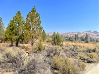
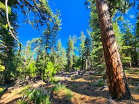
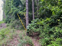
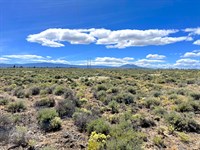
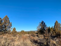
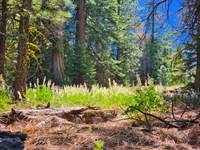
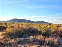
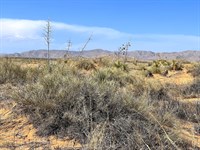
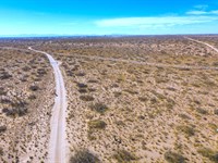
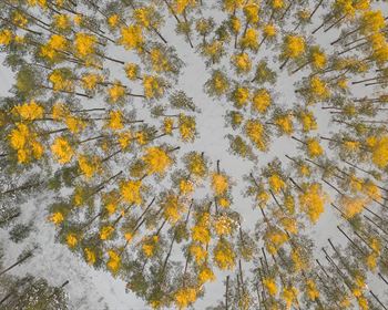
Actual Photos Of The Property
Financing available - no credit check or banks needed. Everyone approved. Contact us and we will show you how easy it is.
Property Details:
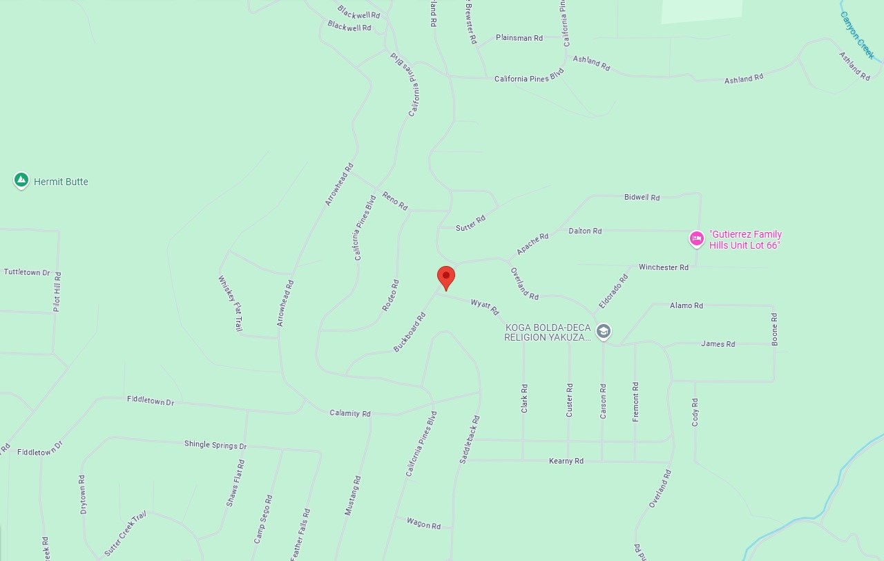
Property Address: Buckboard Rd / Wyatt Rd, Alturas, CA, 96101
Apn: -000
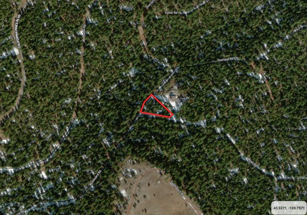
Size: 0.89 acres
Subdivision: California Pines 01
Zoning: Residential-High Density Zone (Rh)
Taxes: $283
Hoa & Covenants: Yes, California Pines Poa
Camping Allowed: Yes, 30 days per year.
Mobile Home Allowed: Yes, 30 days per year.
RVs Allowed: Yes, 30 days per year.
Conveyance: Warranty Deed
Power: Would have to contact Surprise Valley Electric or use alternative power.
Water: Would require private well.
Septic: Would require septic system.
Road Access: Buckboard Rd / Wyatt Rd
Terrain & Vegetation: Wooded, Sloped
GPS Coordinates (4 corners): 41.3271, -120.7570
41.3269, -120.7564 Ne
41.3268, -120.7565 Se
41.3269, -120.7576 Sw
41.3274, -120.7572 Nw
Approximate Distance to Nearby Cities & Points of Interest:
Closest Highways: Us-395
Closest Major City: Redding, California, 2 hr 34 min (122 miles)
Closest Small Town: Alturas, California, 29 min (19.7 miles)
Closest Gas Station: Gils Gas And Grocery, 402 N Main St, Alturas, CA 96101, 28 min (19.3 miles)
Closest Recreation Site:
Modoc National Forest, 225 West 8th Street, Alturas, CA 96101, 30 min (17.3 miles)
Modoc National Wildlife Refuge Admin Bldg And Visitor Contact Station, Alturas, CA 96101, 33 min (21.8 miles)
South Warner Wilderness, Eagleville, CA 96110, 1 hr 14 min (57.7 miles)
Bridge From "Stand By Me", 111 Bridge Way, Burney, CA 96013, 1 hr 36 min (71.1 miles)
- Guaranteed Financing
- No Credit Check
- No Bank or Broker fee
- 60-day money-back guarantee
- Warranty Deed
- Guaranteed free and clear title
We offer owner financing with multiple options that fit any budget. Contact us a call today and don't forget to ask about our 60-day money-back guarantee.
Purchase Options:
Owner Financing: $199 Down/$169 x 72 Months
Cash Price: $10,650.00
Doc Fee: $300 (due with a down payment)
Call us today for additional pricing options.
Get in touch with me today.
MO-09ja
Land Maps & Attachments
Directions to Land
Alturas
California 96101, USA
Take N West St to California Pines Blvd
12 min (9.6 mi)
Head south on N Main St toward E 3rd St
0.4 mi
Turn right onto W Carlos St
0.6 mi
Turn left onto N West St
0.1 mi
Continue onto S W St
0.2 mi
Continue onto N West St
8.2 mi
Continue on California Pines Blvd. Drive to Wyatt Rd
17 min (10.9 mi)
Turn left onto California Pines Blvd
9.4 mi
Continue straight onto Carlsberg Rd
128 ft
Slight left onto California Pines Blvd
1.1 mi
Turn left onto Buckboard Rd
0.4 mi
Turn right onto Wyatt Rd
Destination will be on the left
161 ft
Modoc Joint Unified School District
California, USA
More Land Details
More Land from Landon Harris
 2.6 AC : $15.6K
- 0.9 AC : $7.7K
- 0.2 AC : $6.3K
- 5 AC : $19K
- 2.4 AC : $15.6K
- 1 AC : $7.7K
- 1 AC : $15.4K
- 0.9 AC : $7.7K
- 1 AC : $15.4K
- 1 AC : $15.4K


