Double Corner Lot to Build or Camp
Colorado City, CO 81123
Costilla County, Colorado
Land Description
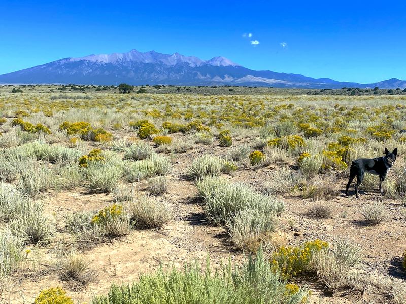
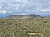
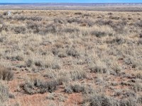
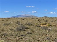
This 10-Acre property is in San Luis Valley Ranches. It is easily accessible via 15th St and Navajo Ave, with convenient access to major highways like US Hwy-285 and Rt-159. Located at an elevation of 7,884 feet, you'll enjoy cooler temperatures and breathtaking desert views. This flat, desert terrain provides potential for development, offering Estate Residential zoning that allows you to build a house, set up a mobile home (manufactured after 1976), or even camp for up to 14 days every three months.
It is near several popular attractions such as the Great Sand Dunes National Park, Fort Garland Museum, and Colorado Gators Reptile Park. It can be powered by solar, wind, or generator energy. You can also install a water well (with a permit) and a septic system, giving you the freedom to live off the grid. The annual property taxes are extremely low, only $126.72, with no back taxes or liens, making this land an exceptional value.
We will finance it for you. No credit check is required with Low monthly payments. It's way easier than you think.
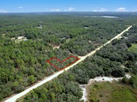
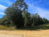
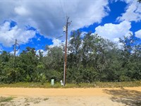
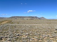
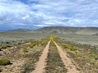
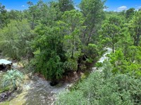
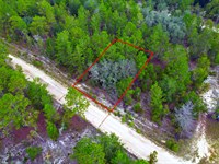
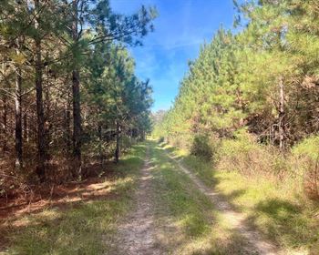
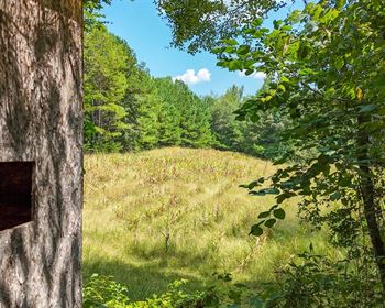
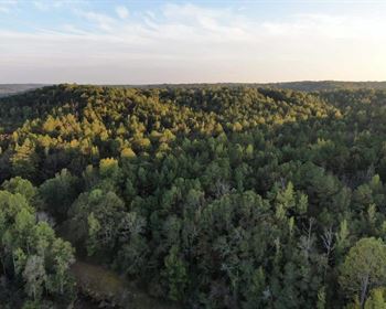
Actual Photos Of The Property
Easy Owner Financing. No credit checks and no banks are required. Contact us NOW for more details.
Property Details:
Property Address: Sierra Grande School District R-30, Colorado, 81123
Apn: 70313900 & 70313910
Size: 10 acres
Subdivision: San Luis Valley Ranches/15/9
Zoning: Estate Residential
Annual Property Taxes: $126.72
Hoa/Fees: None
Camping/Notes: Allowed up to 14 days every 3 months.
RVs/Notes: Allowed up to 14 days every 3 months.
Mobile Homes: Allowed, must be manufactured after 1976.
Conveyance: Warranty Deed
Water: Well or cistern. Contact the Division of Water Resources to obtain a Well permit.
Sewer/Septic: Septic.
Electric/ Power: Power by solar, wind, or generator. Contact San Luis Valley Rural Electric Cooperative.
Gas: No Natural Gas. LP, diesel, or propane tank.
Waste: Pickup Service through GT Trash or visit the transfer station.
Access to Property: 15th St and Navajo Ave
Road Surface: Dirt
Terrain Type: Flat, Plain, Desert
GPS Coordinates (4 corners): 37.338467,-105.506721
Nw: 37.33937,-105.507272
Ne: 37.339369,-105.506168
Se: 37.337562,-105.506173
Sw: 37.337563,-105.506858
Approximate Distance to Nearby Cities & Points of Interest:
Closest Highways: US Hwy-285, Rt-159
Closest Major Cities: Alamosa, Colorado City, Cañon City
Nearby Attractions:
Fort Garland Museum & Cultural Center, Bishop Castle, Great Sand Dunes National Park and Preserve, Cole Park, Great Sand Dunes Visitor Center, Colorado Gators Reptile Park.
- Guaranteed Financing
- No Credit Check
- No Bank or Broker fee
- 30-day money back guarantee
- Warranty Deed
- Guaranteed free and clear title
We offer owner financing with multiple options that fit any budget. Contact us a call today and don't forget to ask about our 30-day money back guarantee.
Purchase Options:
Owner Financing: $299 down and $299/Monthly fee for 64 months
Cash Price: $17,900.00
Closing Fee: $249 (due with a down payment and non-refundable)
Additional monthly fees: $10 monthly note maintenance fee and pro-rated property taxes
Reach out today
Land Maps & Attachments
Directions to Land
Cañon City
Colorado 81212, USA
Take Franklin Ave and Fremont Dr to US-50 E/Royal Gorge Blvd
3 min (0.6 mi)
Head north toward Franklin Ave
144 ft
Turn right onto Franklin Ave
0.3 mi
Turn right onto N 19th St
0.1 mi
Turn left onto Fremont Dr
0.2 mi
Turn right onto N Orchard Ave
79 ft
Follow US-50 E, I-25 S and US-160 W to CO-159 S/Miranda Ave in Fort Garland
2 hr 9 min (133 mi)
Turn left at the 1st cross street onto US-50 E/Royal Gorge Blvd
Continue to follow US-50 E
34.7 mi
Slight right to merge onto I-25 S toward Walsenburg
48.9 mi
Take exit 52 for I-25 S toward US-160 W/Walsenburg/Alamosa
0.3 mi
Merge onto I-25BL S
2.5 mi
Turn right onto US-160 W/W 7th St
Continue to follow US-160 W
42.3 mi
Slight left
0.2 mi
Slight left onto US-160 W
4.5 mi
Continue on CO-159 S. Drive to Navajo Ave
24 min (17.3 mi)
Turn left onto CO-159 S/Miranda Ave
Continue to follow CO-159 S
9.7 mi
Turn right onto Co Rd X
4.0 mi
Turn right onto Navajo Ave
Destination will be on the left
3.6 mi
Sierra Grande School District R-30
Colorado, USA
More Land Details
More Land from Karen Gesa
 0.5 AC : $18.9K
 0.2 AC : $11.5K
 0.3 AC : $15.9K
 4.9 AC : $9K
 0.5 AC : $16.5K
 5 AC : $9K
 0.3 AC : $4.4K
 0.2 AC : $11.9K
 5 AC : $9K
 1.1 AC : $4.5K
 0.2 AC : $9.9K
 New5 AC : $9K
