Get It Now for Only $356.38 Down
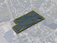
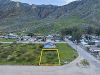
13300 Michael Ave : Edwards, CA 93523
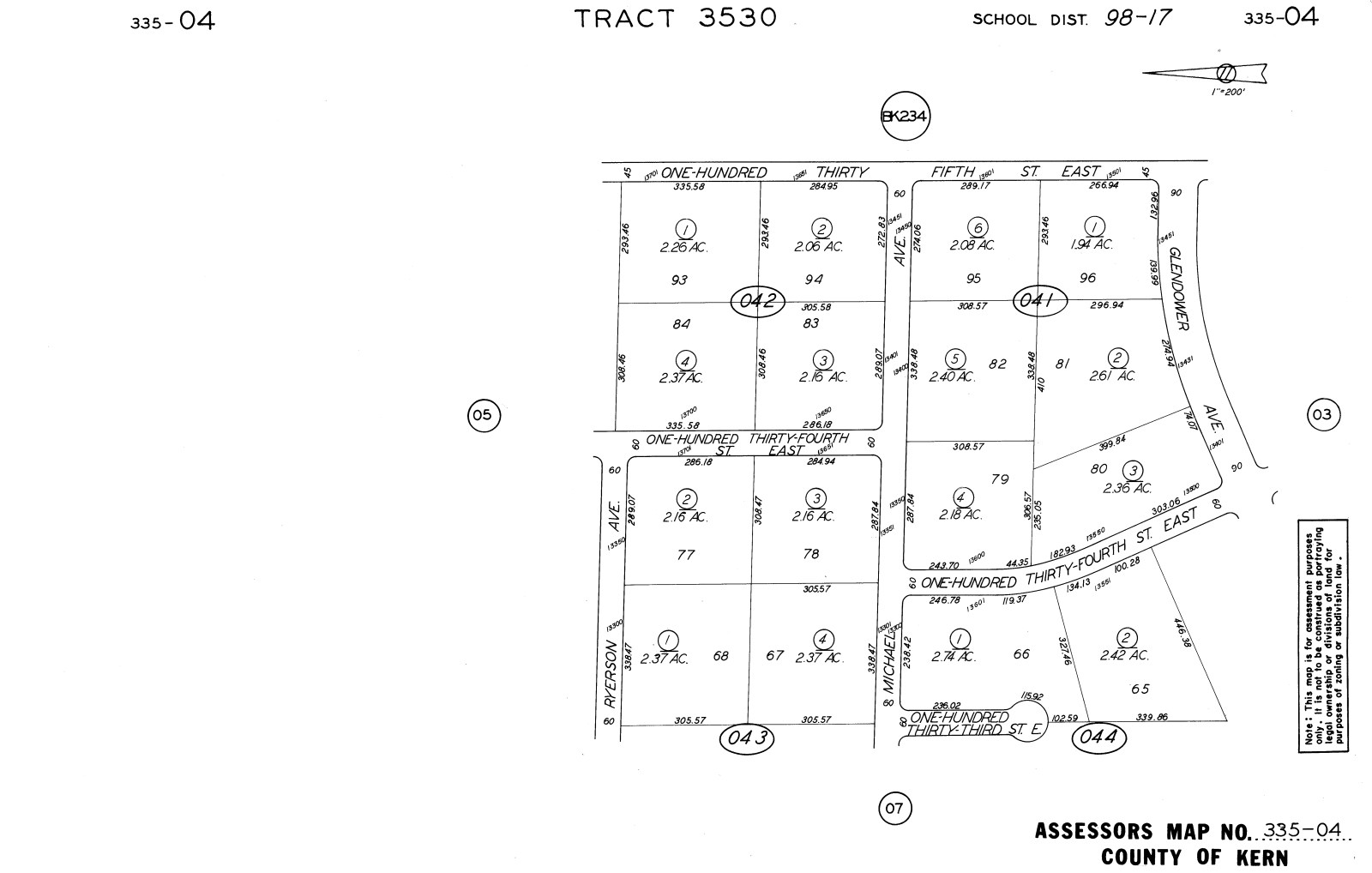
Kern County, California
Land Description
$356.38 Down $356.38/Mo for 24 Months 0% Int
No Credit Checks. All Major Credit Cards Are Accepted.
Call or Text Us Now To Reserve.
30-Day Money Back Guaranteed.
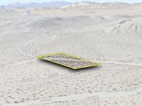
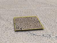
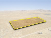
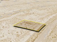
Build your dream home or invest in this 2.74-Acre lot near Lancaster and Palmdale, offering desert tranquility, convenient access to amenities, and excellent growth potential in Kern County. Own a piece of California's beautiful landscape and secure your future.
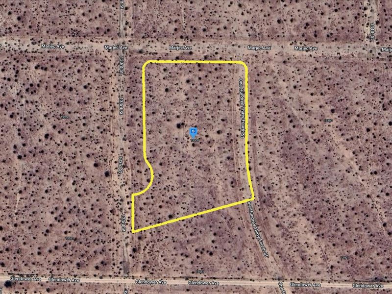
Property Address: 13300 Michael Ave, Edwards, CA 93523
Lot Size: 2.74 Acres
Zoning: Residential, Recreational, and Agricultural Use
Electricity: Off-Grid, Would need Solar or other types of Alternative Energy
Primary Road: Dirt Road Access
Water: Would be from Alternative Sources
Time Is Ticking, Reserve It Now For Only $356.38. Invest In This Prime Property While it's Hot on the Market. Get Easy 24 Months Financing at 0% Interest, No Credit Checks, All Major Credit Cards Are Accepted.
$356.38 Down $356.38/Mo for 24 Months 0% Int
Call or Text Us Now To Reserve.
Cheap and Affordable Vacant Land For Sale in Edwards
Flexible Financing Options are Available
Owner Financed Rural Land in California
Undeveloped Property For Sale With Direct Road Access
For Residential and Agricultural Development in Kern County
Buildable Land Perfect Off-Grid Living
Land Near Entertainment Hubs
Farm and Ranch Land Ideal For Farming and Harvesting Crops, Grazing Livestock
Perfect for Hiking and Fishing Enthusiasts, Being Close to Recreational Areas
Quiet and Friendly Neighborhood
Located Near Golf Course, Schools, Parks, Shops, and Restaurants
Not in Flood Zone and Wetlands
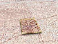
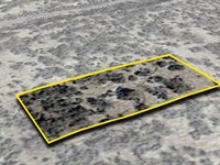
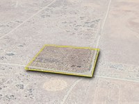
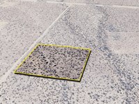
Land Maps & Attachments
Directions to Land
Center of Lot GPS Coordinates: 35.022482, -117.894043
GPS Coordinates for Corners of the Property:
Nw1: 35.022999, -117.894486
Nw2: 35.023050, -117.894422
Ne1: 35.023044, -117.893661
Ne2: 35.022989, -117.893571
Se: 35.022050, -117.893506
Sw1: 35.021808, -117.894578
Sw2: 35.022076, -117.894580
Sw3: 35.022171, -117.894417
Sw4: 35.022374, -117.894476
More Land Details
Land Price History
More Land from Patrick Elder
 2 AC : $7K
- 2.4 AC : $5K
- 20 AC : $25K
- 1.3 AC : $7K
- 0.2 AC : $6K
- 1.4 AC : $8K
- 2.4 AC : $5K
- 14.9 AC : $275K
- 0.2 AC : $4K
- 3.8 AC : $70K
- 2.5 AC : $35K
- 0.2 AC : $50K


