Jewell County Tillable
140 Road : Burr Oak, KS 66936
Jewell County, Kansas
Land Description
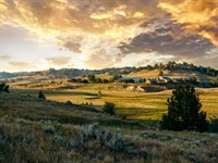
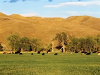
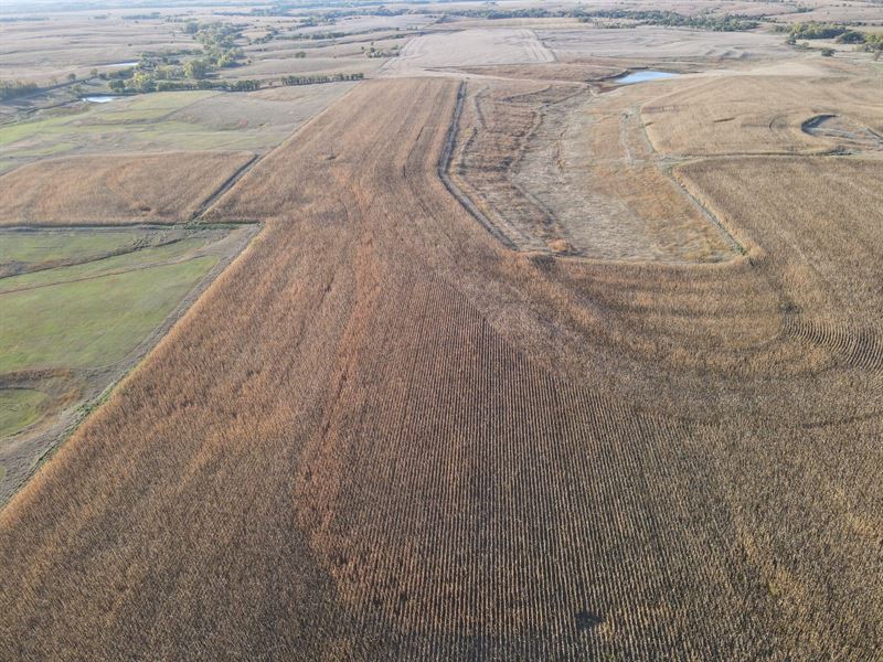
Offering over a 3 return on investment, this approximately 274 acre parcel contains 262 acres of dryland crop with the remaining 12 acres in waterways and a stretch of Long Branch Creek.
Land
This farm consists of mainly Harney Silt Loam soils at 0-3 and Geary Silt Loam at 3-7 and has offered a production of 46 bu/A on Soybeans and 140 bu/A on Corn on an average basis within the last 10 years. The terraces were built maintained by the owner to minimize erosion and control the water flow. Additionally, many acres once considered waste were cleaned up and reclaimed as farm ground or were put back to grass to maximize the owned acres.
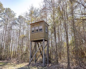
Recreation
This tract offers a portion of Long Branch Creek in a timbered waterway along the West side of the farm that the deer like to frequently travel and bed in. A food plot or some additional cover plantings could increase the hunting potential of this property if desired. Pheasants and quail have been found in the waterways and surrounding pasture and they like to utilize the crop fields as their food source.
Water/Mineral Rights & Natural Resources
Any and all mineral and water rights owned by the seller, if any, will convey to the buyer.
Region & Climate
Jewell, KS County has a climate that is characterized as humid continental. Summers in the county tend to be hot and humid with average temperatures between 70-80 F. Winters in the area are generally cold and dry, with temperatures averaging between 20-30 F. Precipitation in the area is relatively balanced year-round, with about 3-4 inches of average rainfall each month. Jewell County experiences all four distinct seasons, making it an ideal place to live in for those who enjoy experiencing changing weather patterns throughout the year.
Summer High the July high is around 90 degrees
Winter Low the January low is 15
Rain averages 28 inches of rain a year
Snow averages 21 inches of snow a year
Information according to to the NE corner of the property via HWY & gravel road From Burr Oak, KS - 7 miles N on HWY 128 to Cedar RD and 3 miles E to 140 RD, then 2 miles S
From Guide Rock, NE - 6.8 miles S on HWY 78/128 to Cedar RD and 3 miles E to Cedar RD, then 2 mile S
From Superior, NE - S on HWY 14 to Diamond RD, then W 5 miles to 160 RD, then S 1 mile to Cedar RD, then W 2 miles to 140 RD, and S 2 miles.
Mankato, KS and Superior, NE are both roughly 10 - 15 minutes away via country roads for supplies and dining needs.
To view this property, please contact the listing agent to schedule your showing.
Please note A survey may need to be done to determine the exact boundary and acres should this parcel be purchased separate of the pasture tract.
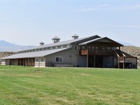
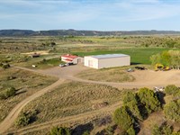
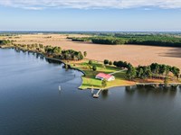
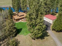
More Land Details
More Land from Hayden Outdoors
 5,582 AC : $29.9M
- 1,222 AC : $9.4M
- 558.3 AC : $1.7M
- 60 AC : $3.58M
- 114.7 AC : $2.5M
- 263.5 AC : $1.8M
- 591.3 AC : $20M
- 125.5 AC : $1.95M
- 7,074.5 AC : $14.15M
- 28 AC : $7M
- 472.7 AC : $885K
- 11.6 AC : $1.69M