Spring River is Reachable Quickly
Hardy, AR 72542
Fulton County, Arkansas
Land Description
Owner Financing:
- down (plus the doc fee)
- down for 48 months (plus prorated taxes and note maintenance fee)
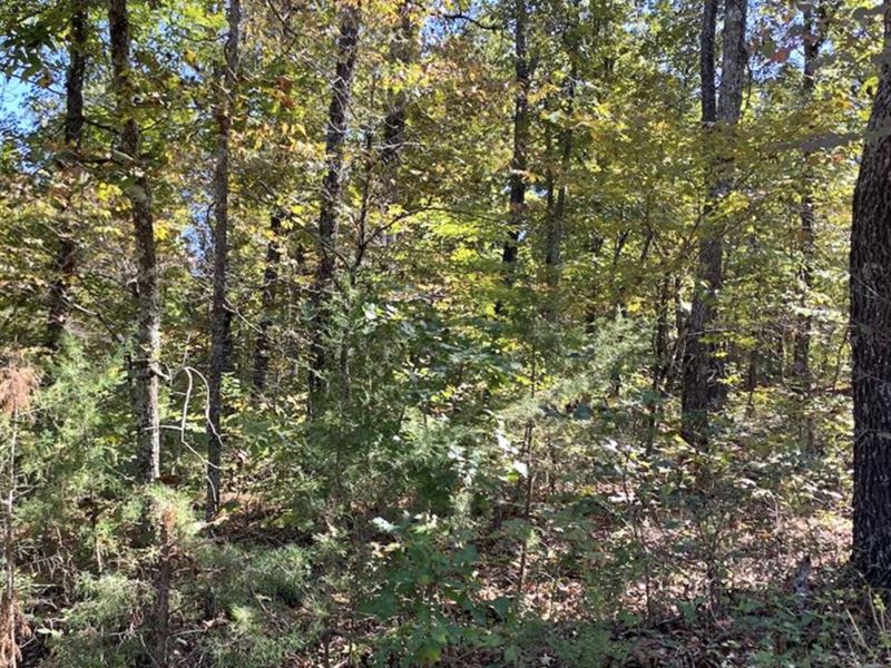
This property is value priced as an investment property, though with a little legwork on the buyers part the property is very likely buildable for residential use. Similar properties in this general area are priced at Get instant equity with your cash purchase today.
The property is about 1.25 miles off US HWY 63 in Hardy, AR about 9 miles south of the Missouri border and around 100 miles west of the Tennessee border. The Spring River is about 3 miles from this property.
Keep in mind we do not have exact GPS coordinates for this property (they are not available outside of having a survey done for the property - we do have a copy of the plat map though). For now, to access the lot, it appears you would need to get there via Timber Creek Rd. and County Road 298. The intersection of these two road is approx. 500 Southeast of the property for sale. The lot itself is approx 60 feet x 100 feet or 0.14 acres. Again, we do not have exact GPS coordinates (only approximate coordinates) for this lot (we do have the plat map) so final confirmation of the property location would come from having a surveyor come locate the property for you.
Directions: From Mammoth Spring go S on HWY 63 to East (Left) onto Fire Tower Rd. Stay to the Left on Fire Tower Rd (heading North). Take the next Left on Timber Creek Rd. and then Left on County Road 298.
Subdivision: Huntington Addition of the Woodland Hills Subdivision
STREET Address: N/A Hardy, AR 72542
State: Ar
COUNTY: Fulton County, Ar
Zip: 72542
Size: approx 0.14 acres
LOT Dimensions: approx. 60 feet x 100 feet deep
Apn: 687-25525-003
Legal Description: Lot 276 in the Huntington Addition of the Woodland Hills Subdivision as recorded in the Fulton County Recorder's Office, Fulton County Courthouse, Salem, Arkansas.
Lat/Long Coordinates (Approx. Location): 36.377115°, -91.466352°
Elevation: 675 feet
ANNUAL Taxes: Approx. per year
ZONING: Please double check with Planning and Zoning Department of Fulton County, Az
Access: Dirt Roads
WATER: Would be a well, water haul and holding tank or other similar option
SEWER: Would be by Septic
UTILITIES: Power is in the area at nearby dwellings or by solar, wind or generator, Phone by cellular, satellite Tv/Internet/Phone