1 Acre Only $1 Down, $399/Mo
Mountain Center, CA 92561
Riverside County, California
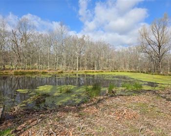
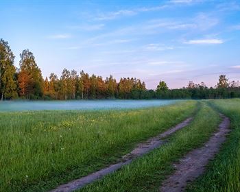
Land Description
For more information on this and our other down properties, check out our listing page.
Questions? Come join my YouTube livestream every Sunday at 6pm EST (search for Gokce Capital on YouTube).
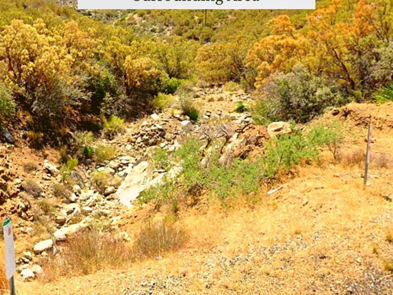
This lot is located near the desert hills of southern California not too far from the Mount San Jacinto State Park.
The lot is about 55 minutes to Palm Springs, 37 minutes to the Mount San Jacinto State Park, and 1 hour and 25 minutes to Joshua Tree National Monument. There is access via a dirt road.
The lot is zoned for Residential (R1), which allows for single-family homes and mobile homes. Long-term RV use is not allowed.
Cash Discount Price: + Doc Fee
We accept cash payment via ACH Transfer, Wire Transfer or Zelle.
Don't forget to check out our 30 Day Money Back Guarantee.
Seller Financing Available
down + doc fee and for 94 months.
0% Apr. No prepayment penalty. No credit check.
Hold Price: we can hold the property for you for 2 days while you decide whether you want to purchase. If you buy the property, this will count toward the purchase price. You can also hold the property up to 8 days.
Location
According to the State of California, "Riverside and San Bernardino counties comprise what is commonly known as the Inland Empire, one of the fastest growing metropolitan areas in the nation. Riverside is bordered by San Bernardino County to the north, Orange County to the west, San Diego and Imperial counties to the south and the state of Arizona to the east. "
Protected areas in Riverside County include Cleveland National Forest (part), Coachella Valley National Wildlife Refuge, Dos Palmas Preserve, Joshua Tree National Park (part), San Bernardino National Forest (part), Sand to Snow National Monument (part), Santa Rosa and San Jacinto Mountains National Monument, and 19 wilderness areas.
Lot Details
Assessor's Parcel Number: 636 033 005
Legal Description: 1.00 Acres IN POR PAR 174 RS 032/029
Elevation: 3960'
Gps Center Coordinates (Approx.): 33.5839, -116.4745
Gps Boundary Coordinates (Approx.): 33.584093746, -116.47457605; 33.58400034, -116.4750131; 33.58366584, -116.47490769; 33.583910512, -116.47380108; 33.58423742, -116.47390362; 33.584189370, -116.47412851; 33.584093746, -116.47457605
Annual Taxes: R1
Time Limit To Build: None as far as we are aware
Access: Private dirt road
Power: Electricity is likely available in the area, but would need to be extended to the property.
Water: A well would need to be installed.
Sewer: A septic system would need to be installed. Please note that a perc test has not been done.
Official Contacts: Please contact Riverside County.
RVs Allowed? We recommend that you contact Riverside County to confirm, but, according to our research, RVs are not allowed.
Buildable? Because we do not know the specifics of what you may want to build on the property, we recommend that you contact the building and/or zoning department(s) for more information on the relevant zoning and building regulations and how to obtain a building permit.
Survey Available? No, we have not had a survey commissioned, but if you would like to pay for a survey we would be happy to work with your chosen surveyor.
In Hoa? No Hoa
Hoa Dues: 0