Time to Hit The Trails
Hornitos Trail : Alturas, CA 96101
Modoc County, California
Land Description
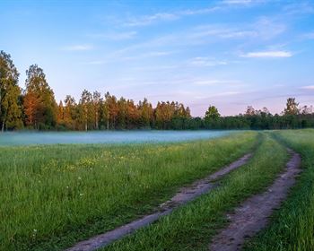
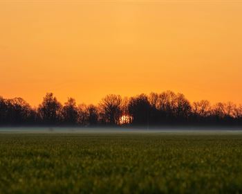
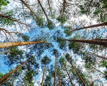
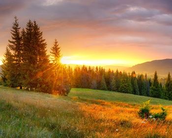
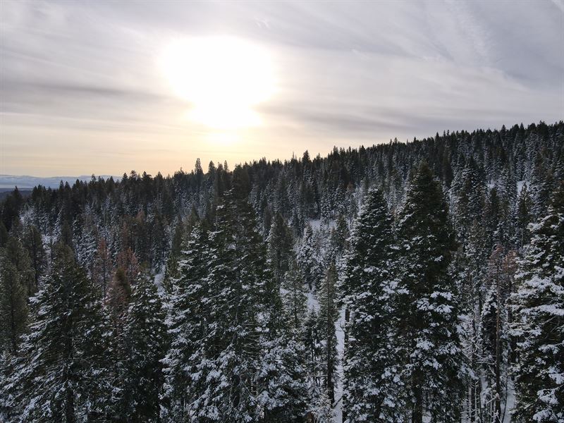
Want to get away to adventure in the Mountains? Want to hike amongst the trees, rivers and lakes in Northeast California? How about starting from the perfect lot on the Hornitos Trail: This 0.98-Acres near the California Pines area features beautiful trees and landscapes from which to camp, park your RV during your adventure, or even start building a home. This lot is in Hill District 2 of California Pines, which is a community in the Modoc National Forest, and is a residential subdivision with a beautiful mountain backdrop. It features vast green meadows, many pine trees and meandering streams. It's the perfect spot for nature lovers and is a great area for bird watching, fishing and hunting. The Donovan Reservoir nearby is a sanctuary for White Pelicans, Canadian Snow Geese, Cranes and many other wild birds and animals.
The Hill District is a residential area up the mountain from the Lake District, and is known for its fantastic views due to the elevation, and also known for its beautiful forest of pine, juniper and cedar trees. Three fishing ponds are available in the area which are stocked by the State Department of Fish and Wildlife. It is in a dormant volcano area which is why it also has the best water in California.
The California Pines Lodge sits right next to Donovan Reservoir and is 11 miles south of the city of Alturas. It features 28 rooms for guests, a restaurant and cocktail lounge, with fun and games. There is also a swimming pool and paddle-tennis courts available for residents and property owners.
- Owner Financing: down, x 60 months. Closing Cost of due with down payment.
- Cash Price: Details
Access Rd: Hornitos Trail
Road Surface: Dirt
Road Maintenance: California Pines Poa
Elevation: Low: 5608 ft / High: 5643 ft
Closest Highways: US Hwy-395, Rt-139
Water: Dig a well
Sewer/Septic: Build a septic
Electric: Power available at street, or power by solar, wind or generator
Camping/RVs: Allowed for up to 30 days per calendar year
Zoning: Residential High Density
GPS Center (Approximate):
Nw: 41.323575, -120.769088
Ne: 41.323519, -120.768616
Se: 41.322630, -120.768688
Sw: 41.322683, -120.769169