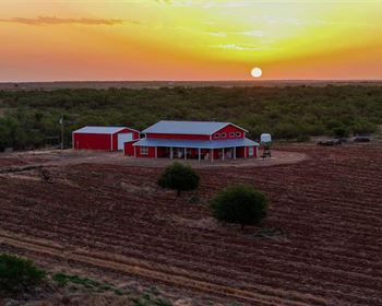
5 Acres of Off Highway Vehicle Area
Fort Sage Rd : Doyle, CA 96109
Lassen County, California
Land Description
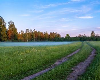
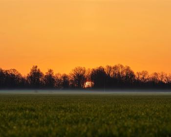
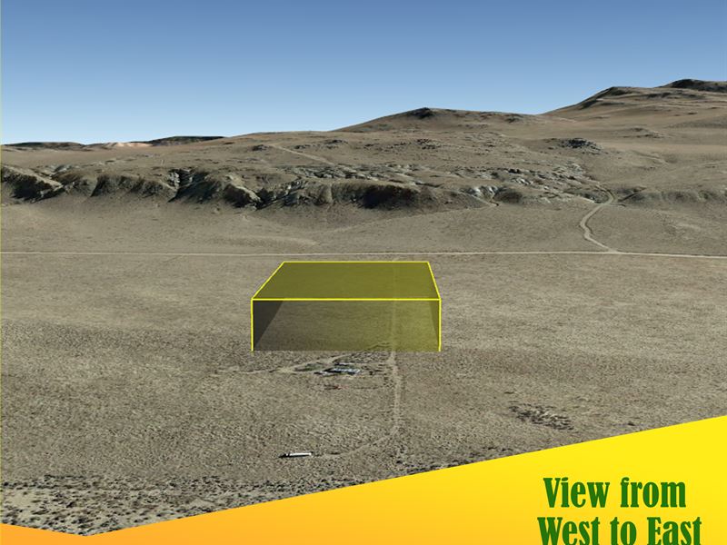
The Fort Sage Off-Highway Vehicle Area offers 100 miles of roads in the high desert region of northeastern California outside the town of Doyle. 5 acres at the base of Fort Sage plenty of space to camp, 4 wheel and enjoy the outdoors with nobody around. The parcel is 5 acres mostly flat with sage brush and grass. It is near Fort Sage Road and Jeep Trail is next to the mountains. It would be a great place to ride motorcycles and explore for a few days of camping.
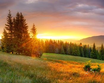
Other great places to explore in Lassen County is the Volcanic National Park, Eagle Lake with awesome trout fishing. The Bizz Johnson Trail perfect for biking or hiking with 12 bridges, two tunnels and beautiful views of the surrounding mountains and the Susanville Ranch Park with 1,100 acres or trails for horseback riding, hiking or it has plenty of spots for picnicking.
Susanville is 45 miles to the north with a Walmart for your every need also, 50 miles away is The Discovery Terry Wells Nevada Discovery Museum while Turkey Point is 40 miles away from the property. Take a quick dip in the water, feed your curiosity and make some core, beautiful memories with your loved ones.
The city of Reno is 51 minutes away from the property. Aside from the city's popular areas for bars and clubs, breathtaking scenery and exciting skiing run that are great for a day on the slopes and an impressive backdrop to the many activities you can do outside the walls of a casino. The city is a treasure trove of surprises. Unravel all the hidden gems that lie here.
Your dream property is our priority. Call or email us now.
Pricing Details:
Cash: Financing Available
No POA Fee
Taxes: a year
Property Details:
County, State: Lassen, Ca
Acres: 5
Parcel Address: CA, 96109
Gps Coordinates: 40.0949, -120.0971
Gps Coordinates (Corners):
40.0944, -120.0959
40.0953, -120.0959
40.0954, -120.0982
40.0944, -120.0983
Access: Land Locked
Terrain: Desert
Legal Description: None
Elevation: 4255.2'