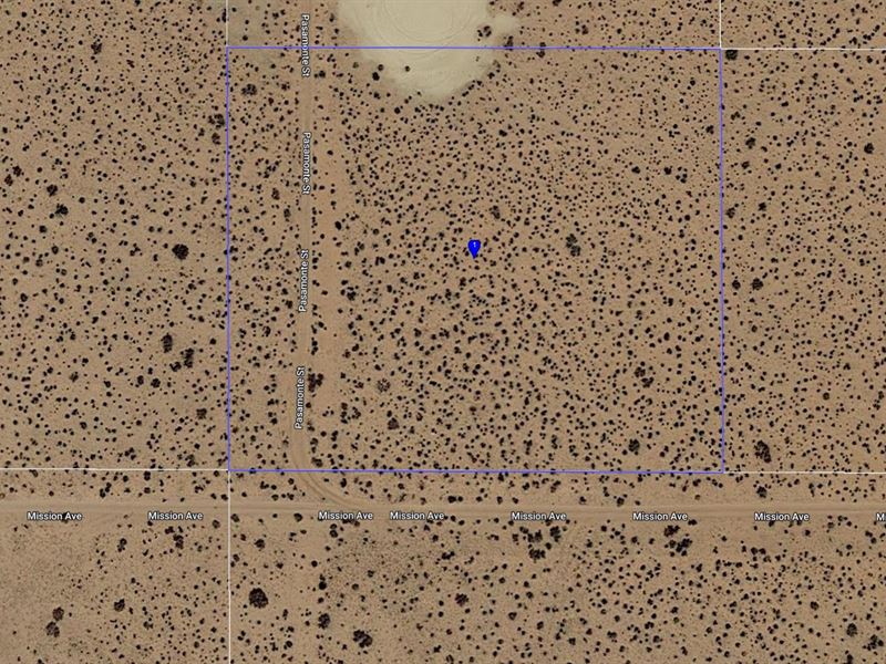
2.29 Acres in Kern County
North Edwards, CA 93523
Kern County, California
Land Description
This 2.58 Acre Parcel is located just outside North Edwards California and is accessible via dirt road (Mission Ave). The Property is centrally located and is roughly 25 miles from the town of Mojave.
This Parcel is perfect for those looking for something “off the beaten path, but still “close enough” to civilization. It is located 5 miles from HWY 58. The parcel has a use code of 0060 - Land with more than One Acre and less than Three Acres, Zoned other than R-2, R-3, R-4, Commercial or Industrial and is Zoned A1: Limited Agriculture.
Kern County, often referred to as the Golden Empire due to its rich history of gold, oil, and agricultural production, is the third-largest county by area in California. It ranges as far north as the Sierra Nevadas and as far south as the Antelope Valley.
The county relies heavily upon agricultural, oil production and mining for its strong economy.
Aviation is also a major contributor to the economy. With Edwards Air Force Base (home of the Air Force Test Center, Air Force Test Pilot School and Nasa's Armstrong Flight Research Center), China Lake Naval Air Weapons Station and Mojave Air and Space and Space Port, it is one of the fastest-growing areas in the US in terms of population growth.
Given its blue skies and moderate climate, Kern County hosts an abundance of outdoor activities including camping, rafting, kayaking, fishing, mountain biking, golfing, rock climbing, skydiving, glider flights, water sports, dirt biking and off-roading.
Some of the most visited destinations in Kern County include Lake Isabella, Sequoia National Monument, Red Rock Canyon State Park and the wild and scenic Kern River.
Buyer is responsible to conduct due diligence in determining whether their intended use of property is allowed in the applicable county.
KCBC (17.44.060) In Kern County, it is unlawful for any person to place or allow to be placed, or use, occupy or knowingly permit Dependent Mobile Homes to be used for occupancy.
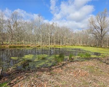
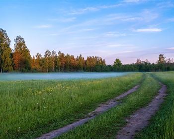
Photos are of not actual parcel but are of the surrounding area.
Parcel Snapshot:
Gps Marker: 35.043346, -117.859179
Legal Description: S 17 T 11 R 9 Lot 117 Tract 2133 Record
Current Zoning: 0060-Vac 1AC