Fly on Over to Klamath County
Sprague River, OR 97639
Klamath County, Oregon
Land Description
Owner Financing:
- $500 down (plus the $250 doc fee)
- $500 down $225/Mo for 84 months (plus prorated taxes and $10/Mo note maintenance fee)
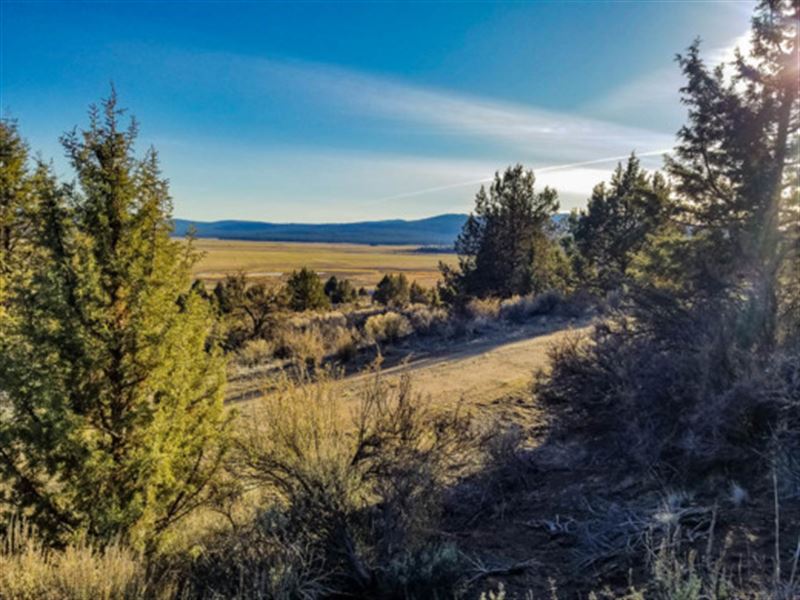
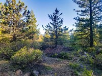
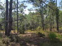
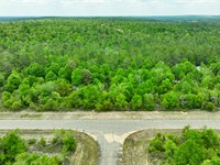
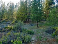
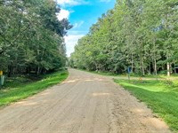
Located just north of California, Sprague River, Oregon is located in the eastern foothills of the Cascade Mountains. The area was first inhabited by Native Americans and has plenty of history in addition to plenty of places to enjoy with friends and family. Fishermen will rejoice, because this 1.59 acre lot is in the Nimrod River Park subdivision, close to the trout-filled Sprague River.
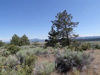
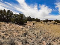
While people come here to get away from the hustle and bustle, there is no shortage of things to do in the area. The Fremont-Winema National Forest is just a few miles away, and sitting on the Pacific Flyway makes the area a bird lover's paradise. It's off the beaten path, with picture perfect Mountain View's, and plenty of fishing and hunting.
There's no time limit to build and camping is allowed for up to 21 days every 6 months. Roll up in your RV or truck and spend your weekends here, or call it home by building a mobile, site-built, or manufactured home. Ready to make the move to Klamath County? Give us a call today to secure this property.
Subdivision: Nimrod River Park 5th Addition
STREET Address: N/A, Harney, Sprague River, OR 97639
State: Or
COUNTY: Klamath County
Zip: 97639
Size: 1.59 acres
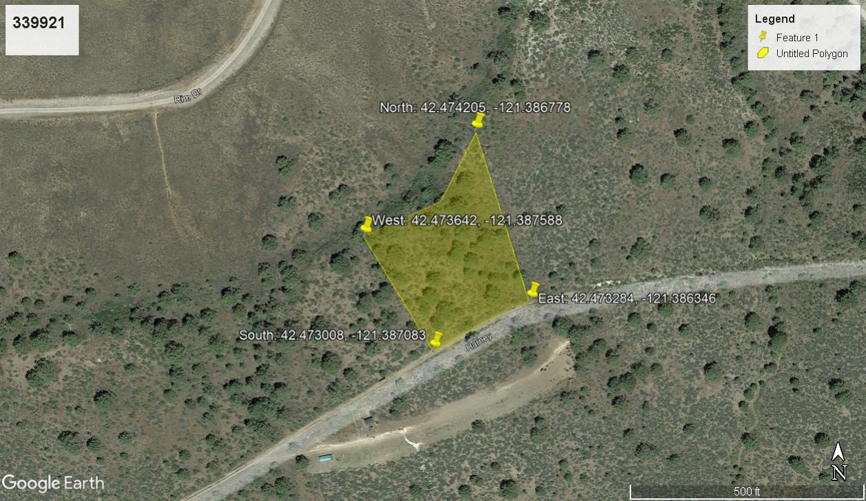
LOT Dimensions: 357 feet (Eastern Leg) x 270 feet (Western Leg) x 227 feet (Southern Leg) x 317 feet (Northern Leg)
Apn: 339921
Legal Description: Block 70, Lot 61, OF The 5th Addition TO Nimrod River Park as shown on map in official records of said county.
Lat/Long Coordinates:
Nw: 42.474205, -121.386778
Ne: 42.473284, -121.386346
Sw: 42.473008, -121.387083
Se: 42.473642, -121.387588
Additional Coordinates:
North: 42.474205, -121.386778
East: 42.473284, -121.386346
South: 42.473008, -121.387083
West: 42.473642, -121.387588
Elevation: 4,464 ft
ANNUAL Taxes: Approx. $180 per year
ZONING: Land Use Zoning: CO - (R-2) Rural Residential - No time limit to build. Site built, mobile homes, & manufactured homes are okay. The building code that Klamath County uses allows houses as small as 300 sq. ft. RV's are allowed for camping but not as a permanent residence. Camping is allowed for up to 21 days every 6 month period. Permits only required if staying for more than one week at a time. Tiny homes on trailer frames are registered by DMV as an RV so fall under the camping regulations. Contact Klamath County, OR Planning and Zoning Department for more info.
HOA/POA: No
IMPROVEMENTS: None
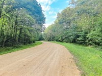
ACCESS: Property can be accessed via Harney.
WATER: Would be a well, water haul and holding tank or other similar option
SEWER: Would be by Septic
UTILITIES: The nearest power post is about 0.7 miles away from the lot. Power could also be by solar, wind or generator, Phone by cellular, satellite Tv/Internet/Phone
Land Maps & Attachments
More Land Details
More Land from Landopia, LLC
 2.8 AC : $23K
- 0.8 AC : $16.5K
- 5 AC : $15.1K
- 0.2 AC : $12.8K
- 5 AC : $14.2K
- 0.6 AC : $19.8K
- 2.5 AC : $23K
- 0.5 AC : $19.3K
- 1.6 AC : $10.9K
- 0.2 AC : $3.8K
- 1.1 AC : $5.5K
- 0.6 AC : $15.4K


