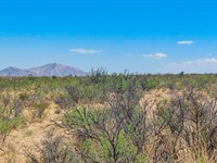
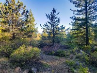
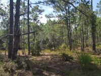
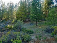
Experience The Beauty of Klamath
Chiloquin, OR 97624
Klamath County, Oregon
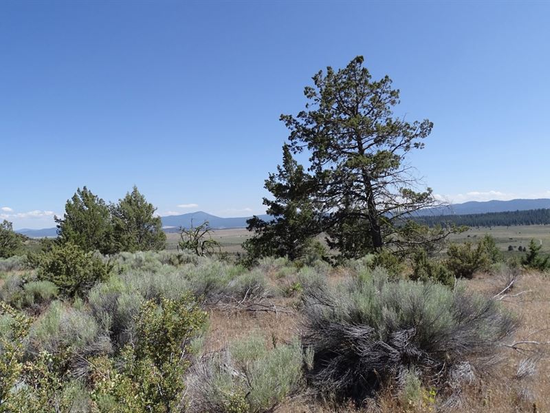
Land Description
Subdivision: Oregon Pines
STREET Address: N/A, Love Ln, Chiloquin, OR 97624
State: Or
COUNTY: Klamath County, Or
Zip: 97624
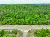
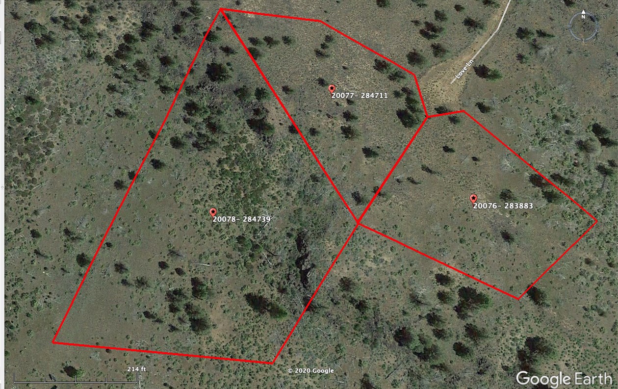
Size: 1.6 acres
LOT Dimensions: 398 feet (Northern Leg) x 100 feet (Eastern Leg) x 224 feet (SE Leg) x 487 feet (SW Leg)
Apn: 284711
Legal Description: Those Portions OF Block 5 OF Oregon Pines As Recorded IN Klamath County, Oregon. A Portion OF Lot 111, More Particularly Described As Follows: Beginning at the Southeast corner of Lot 73 of said Block 5; thence north 59° 58' 54" East, along the southerly line of Lot 72, 259.86 feet to the Southwest corner of Lot 70; thence South 80° 40' 15" East, along the South line of Lots 70 and 69, 341.49 feet to the Southwest corner of Lot 67; thence South 55° 08' 57" East, along the southerly line of Lot 67, 258.37 feet to the westerly right of way line of love lane; thence southerly along the southerly right of way line, along a curve concave to the Northeast, having a radius of 50.00 feet (the chord bears South 10° 08' 57" East, 70.71 feet) 78.54 feet to the Northwest corner of Lot 65; thence South 34° 51' 03" West, along the westerly line of Lot 65, 230.00 feet to the Southwest corner of Lot 65; thence South 31 ° 05' 16" West 265.32 feet to the Northeast corner of Lot 19; thence North 83° 11 ° 12" West, along the North line of Lot 19, 387.74 feet to the Northwest corner of Lot 19; thence North 10° 45' 47" West, 492.65 feet to the Southeast corner of Lot 73 and the point of beginning. Excepting an area beginning at the Southeast corner of Lot 73; thence North 59° 58' 54" East, along the southerly line of Lot 72, 259.86 feet to the Southwest corner of Lot 70, thence South 80° 40' 15" East, along the South line of Lot 70 to that point where the Northwest corner of Lot 66 meets the southerly line of Lot 70; thence south and West in a diagonal line to the Northwest corner of Lot 19; thence North 10° 45' 47" West, to the Southeast corner of Lot 73 and the point of beginning. Note: This Legal Description WAS Created Prior TO January 01, 2008. There hasn't been a deed recorded with the legal descriptions separated, a surveyor would need to supply the legal descriptions for this property.
Lat/Long Coordinates:
Nw: 42.537842, -121.399303
Ne: 42.537768, -121.398603
Sw: 42.537450, -121.397982
Se: 42.536700, -121.398392
Additional Coordinates:
The property has an irregular shape.
Nw: 42.537842, -121.399303
Ne: 42.537768, -121.398603
East 1: 42.537450, -121.397982
East 2: 42.537220, -121.397922
South: 42.536700, -121.398392
Elevation: 4,869 feet
ANNUAL Taxes: Approx. $98 per year
ZONING: (R-2) Rural Residential - Site built, mobile homes & manufactured homes are okay. The building code that Klamath County uses allows houses as small as 300 sq. ft. RV's are allowed for camping but not as a permanent residence. Camping is allowed for up to 21 days every 6 month period. Permits only required if staying for more than one week at a time. Tiny homes on trailer frames are registered by DMV as an RV so fall under the camping regulations. No time limit to build. Contact Klamath County, OR Planning and Zoning Department for more info.
FLOOD Zone: Unsure
HOA/POA: No
IMPROVEMENTS: None
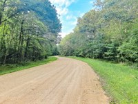
ACCESS: Property can be accessed via Love Lane.
WATER: Would be a well, water haul and holding tank or other similar option
SEWER: Would be by Septic
UTILITIES: Power by solar, wind or generator, Phone by cellular, satellite Tv/Internet/Phone
Land Maps & Attachments
More Land Details
More Land from Landopia, LLC
 5 AC : $15.1K
- 5.7 AC : $14.6K
- 20 AC : $26.7K
- 0.4 AC : $17.4K
- 1.8 AC : $44.8K
- 2.8 AC : $23K
- 0.8 AC : $16.5K
- 0.2 AC : $12.8K
- 5 AC : $14.2K
- 0.5 AC : $19.3K
- 0.6 AC : $19.8K
- 2.5 AC : $23K


