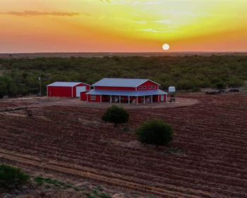
Raines Branch
Salem, GA 31016
Upson County, Georgia
Land Description
Location:
Are you looking for a tract of land that's conveniently located between the upper coastal plain and the piedmont region? Look no further than Raines Branch. This beautiful tract is surrounded by timberland, pastures, and residences, and sits almost equidistant from the charming cities of Butler and Thomaston, Georgia. Enjoy easy access to dining, grocery, and fuel amenities in both cities, with lodging options and a hospital available in Thomaston. And with US Hwy 80 just a few hundred yards away, you can easily access the property from US Hwy 19 in just minutes. Plus, it's only a 40-minute drive to I-75 in Macon, GA, and just 1.5 hours to the Atlanta Airport.
Access:
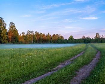
Raines Branch offers great road frontage on both the east and west sides, but internal access is limited to trails that are only suitable for ATV or UTV traffic. The west boundary of the tract features approximately 1,800 feet of frontage along Parkview Road, a paved county-maintained road. On the east side, there is approximately 2,250 feet of frontage along Lamar Road, which is a dirt and gravel road that is also county-maintained. Currently, there is one access point on Parkview Road and two access points on Lamar Road. Power is available just to the west of the tract.
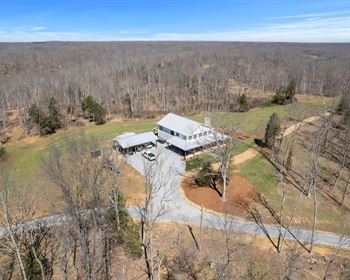
Site Description:
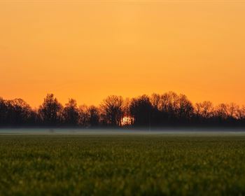
Raines Branch terrain is gently rolling and ranges in elevation from about 390 feet above sea level at its lowest point up to about 460 feet at its highest. The proximity to power and paved frontage gives this tract an avenue for development in the future. There are sites along both county roads that may be suitable for building. Additionally, this tract has solid wildlife opportunities, as this area of Georgia is known for trophy deer and good turkey hunting. The Flint River is just four miles away and offers kayak and canoe adventures as well as some of the very best Shoal Bass fishing anywhere. Finally, the Big Laser Creek Wildlife Management Area is also in close proximity, offering 7,200 more acres on which to experience the outdoors.
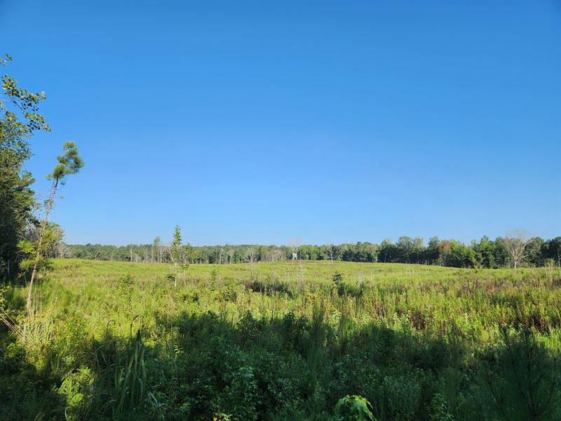
Timber:
Raines Branch offers the following timber types and approximate acreages:
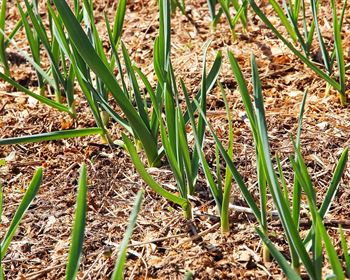
- 91 acres of loblolly plantation established in 2023
- 9 acres of natural upland areas dominated by mixed hardwood with some pine
- 23 acres of natural bottomland areas of mixed hardwood that runs along Raines Branch
- 1 acre unforested
This tract's primary timber investment opportunity is the 91 acres of recently planted loblolly pine. The seedlings planted are improved stocked and are expected to be very productive and produce the highest value of pine derived products once they reach maturity. The typical management regime for a plantation in this region allows it to grow until age 14 or 15 and then conduct a thinning. The thinning's primary purpose is to keep the timber healthy and growing well. And it is an income producer. Depending on markets and the growth rate of the timber, there are times when a seconding thinning is appropriate at or near age 21. The timber of a plantation typically reaches its full financial maturity at or near age 28 in this market, at which time a final harvest is appropriate. The final harvest should be followed by establishing another loblolly plantation to continue realizing maximum timber potential.
The upland hardwood areas are available for harvest if it is the desire of ownership. Since there are only 9 acres, it may be challenging to attract a logger, so to enable a cutting, it should be set in sequence with the 91 acres of plantation. This area adds to the tract's diversity and a visual buffer, as is along Parkview Road.
For the hardwood in the bottomland areas along Raines Branch, timber value can be captured from these areas, but harvesting will be limited to adhere to Best Management Practices for Forestry to protect the water quality of the creek. Most landowners choose to keep these areas intact for the integrity of the stream, as wildlife travel corridors, and to add to environmental diversity.