Set Back Yet Connected
W 16th St : Anderson, IN 46011
Madison County, Indiana
Land Description
Call Or Text Us Now For Availability.
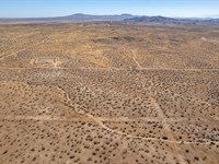
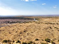
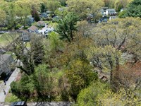
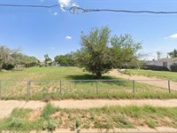
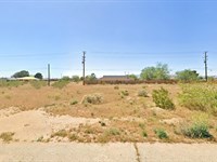
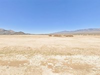
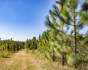
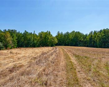
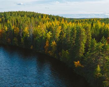
The adventure awaits on this unoccupied 0.10-Acre parcel of land in Anderson, IN-a city that beautifully blends charm and convenience. With a population of approximately 55,000 residents, Anderson offers the perfect fusion of small-town warmth and big-city amenities. Delve into its captivating past as you explore historic sites and landmarks that reveal the city's rich history. Embrace the vibrancy of its diverse economy, spanning manufacturing, healthcare, and education, providing a stable environment and numerous job prospects for locals.
With convenient access to major roads, traveling to other Indiana cities and tourist destinations is effortless. Moreover, this property stands out with its nearby availability of water and electricity, making it an ideal place to build your dream home. Anderson offers a perfect blend of close-knit community vibes, stunning natural scenery, excellent education, and a thriving business atmosphere, providing everything you need for a fulfilling life and more.
Call Now Or Text Us For Availability.
Easy roll-on, roll-off access.
Zoned for Residential Use.
Electricity: YES - Power Lines are There.
Primary Road: The Property is slightly set back from the Main Road.
Water: YES - Water Service is Available in the Area.
Call Us Now.
Cheap and Affordable Vacant Land For Sale in Anderson
Undeveloped Property For Sale, Homesite Potential
For Residential Development in Madison County
Buildable Land With Water And Power Access
Urban Land With Scenic Views
Single-Family Homes are Permitted
Land Near Entertainment Hubs
Perfect for Hunting and Fishing Enthusiasts, Being Close to Recreational Centers
Quiet and Friendly Neighborhood
Located Near Golf Course, Schools, Parks, Shops, and Restaurants
Not in Flood Zone and Wetlands
Property Within Secured Subdivision
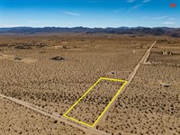
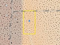
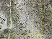
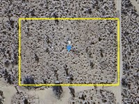
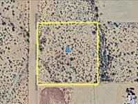
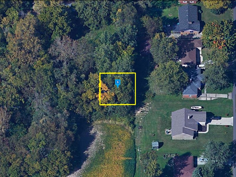
Land Maps & Attachments
Directions to Land
Center of Lot GPS Coordinates: 40.099584, -85.724447
GPS Coordinates for Corners of the Property:
Nw: 40.099681, -85.724554
Ne: 40.099682, -85.724341
Se: 40.099477, -85.724341
Sw: 40.099474, -85.724556
More Land Details
Land Price History
More Land from Patrick Elder
 7.5 AC : $40K
- 10 AC : $19K
- 2.5 AC : $18K
- 81.1 AC : $219K
- 0.2 AC : $40K
- 0.2 AC : $9K
- 1.3 AC : $8K
- 2.5 AC : $9K
- 1.1 AC : $8K
- 0.3 AC : $10K
- 0.2 AC : $6K
- 2.5 AC : $11K