Booming Area Deal
1040 New Jersey Ave : Kansas City, KS 66102
Wyandotte County, Kansas
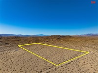
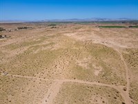
Land Description
Call Or Text Us Now For Availability.
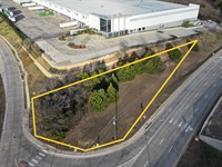
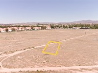
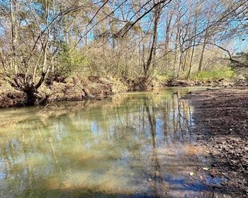
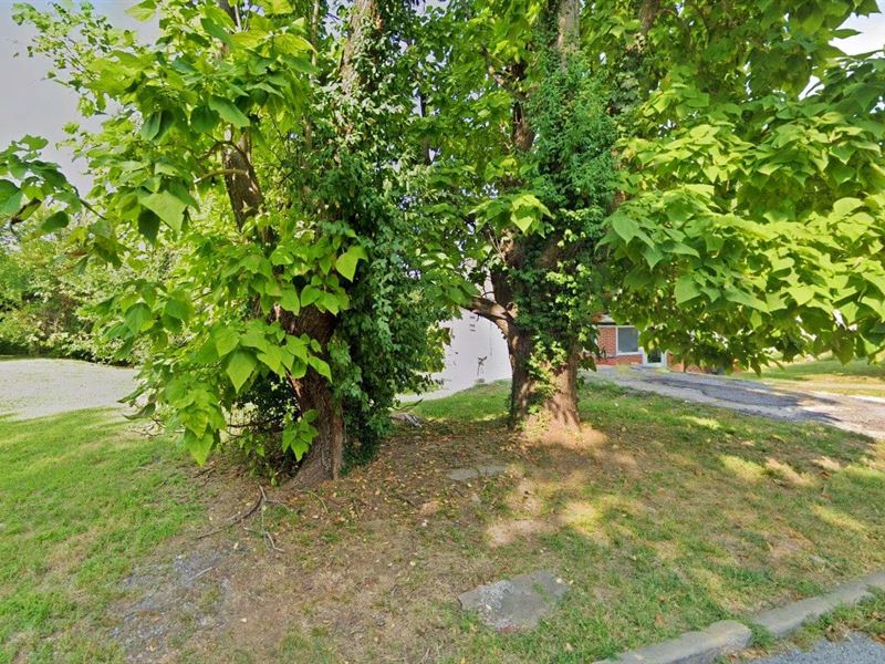
Consider this 0.11-Acre vacant land in thriving Kansas City, KS, as one of your ideal investments. Because of its excellent location, this property provides a fantastic opportunity for a variety of development possibilities. The lot is close to major highways and thoroughfares, making it easy to travel to and from nearby areas. The presence of prestigious educational institutions, medical facilities, and entertainment venues makes the area more desirable.
Embrace the convenience and potential for growth as this exceptional property offers easy access to electricity, water services, and paved roads, setting the stage for seamless development and providing unmatched comfort for future residents. Take action now and seize this remarkable opportunity to leave a lasting impression in this thriving and vibrant community.
Call Now Or Text Us For Availability.
Easy roll-on, roll-off access.
Zoned for Residential Use.
Electricity: YES - Power Lines are There.
Primary Road: Paved Road Access.
Water: YES - Water Service is Available in the Area.
Call Us Now.
Cheap and Affordable Vacant Land For Sale in Kansas City
Urban Land in Kansas
Undeveloped Property For Sale With Direct Road Access
For Residential Development in Wyandotte County
Buildable Land With Water And Power Access
Homesite Potential With Scenic Views
Single-Family and Two-Family Homes, Municipal Facilities, and Community Centers are Permitted
Permitted Uses include Agricultural Uses That Do Not Involve Animals or Livestock
Land Near Entertainment Hubs
Perfect for Hunting and Fishing Enthusiasts, Being Close to Recreational Centers
Quiet and Friendly Neighborhood
Located Near Golf Course, Schools, Parks, Shops, and Restaurants
Not in Flood Zone and Wetlands
Property Within Secured Subdivision
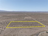
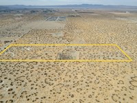
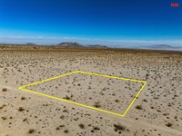
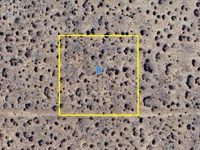
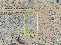
Land Maps & Attachments
Directions to Land
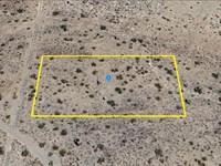
Center of Lot GPS Coordinates: 39.122641, -94.636979
GPS Coordinates for Corners of the Property:
Nw: 39.122792, -94.637039
Ne: 39.122792, -94.636908
Se: 39.122446, -94.636907
Sw: 39.122447, -94.637037
More Land Details
Land Price History
More Land from Patrick Elder
 0.8 AC : $150K
- 0.3 AC : $121K
- 5 AC : $23.8K
- 10 AC : $33K
- 2.3 AC : $29K
- 2.5 AC : $10.9K
- 1 AC : $15K
- 20.3 AC : $16K
- 20 AC : $45.8K
- 8.9 AC : $24.8K
- 1 AC : $14.5K
- 0.1 AC : $18K