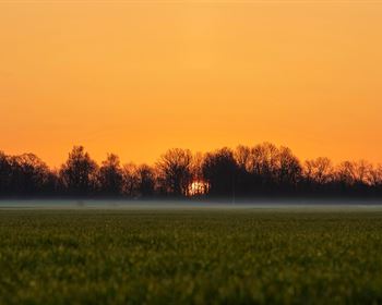
Mountain Views Near Alamosa River
Quintana Road : La Jara, CO 81140
Conejos County, Colorado
Land Description
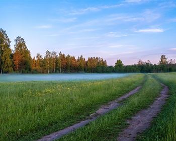
0.5 Acre lot just 510 feet from the Alamosa River. This property has two-track road access just feet from Quintana Road. Electricity lines and poles are in place 985 feet southwest of the property.
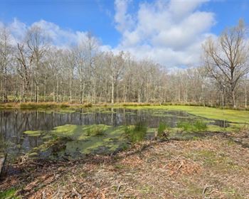
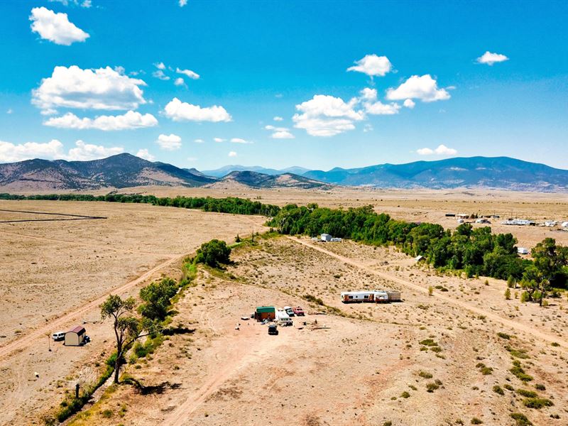
The Property is gently sloped towards the Alamosa River.
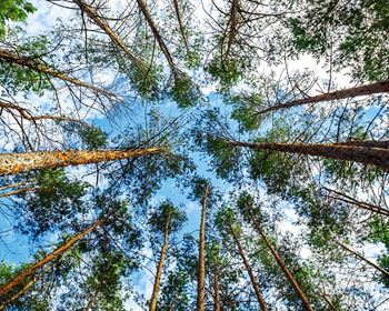
The Property is surrounded by Public Land including the Rio Grande National Forest, BLM land, State Parks, State Wildlife Areas and Wildlife Refuges.
Located near the base of the San Juan Mountain Range, this Property offers beautiful views of Chiquito Peak, Rio Grande National Forest, and Green Ridge Mountain.
Within a mile of the Property there is more than 4,600 Acres of BLM located in GMU 81 that is desirable for Hiking, Outdoor Recreation and Hunting.
There is NO Time Limit to Build and NO Hoa.
You can use the Property Recreationally, Seasonally or Live Here Fulltime.
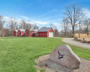
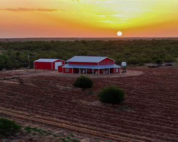
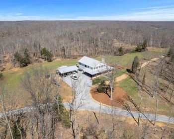
There are RVs, Cabins, Mobile Homes, Site-Built Homes and Ranches on nearby parcels (see photos).
Property Specifications
Parcel Size: 0.5 Acres +/-
Property ID: Co_Conejos_00008
General Elevation: 8,090 feet
Legal Description: Alamosa River Estates Block B Lot 73
Property Taxes: per year
HOA: None
Title: Free & Clear
Conveyance: Warranty Deed
Nearby Towns & Cities
15.4 miles to La Jara, CO : Population 815
20.7 miles to Monte Vista, CO : Population 4,100
28.7 miles to Alamosa, CO : Population 10,000
29.1 miles to Antonito, CO : Population 645
34.4 miles to Del Norte, CO : Population 1,500
50.2 miles to South Fork, CO : Population 370
Nearby Points of Interest
17.2 miles to Monte Vista National Wildlife Refuge
13.6 miles to Rio Grande National Forest
14.2 miles to Terrace Reservoir
34.8 miles to Alamosa National Wildlife Refuge
41 miles to Upper Rio Grande
51.7 miles to Blanca Peak
59.5 miles to Great Sand Dunes National Park
59.9 miles to Zapata Falls
68.6 miles to Wolf Creek Ski Area
GPS Coordinates
North Corner: 37.323686, -106.182042
East Corner: 37.323428, -106.181826
South Corner: 37.32295, -106.182216
West Corner: 37.32316, -106.182478
Center Point: 37.323306, -106.182139
Call or Text us anytime for questions or to purchase this property.
Please reference the Property ID: Co_Conejos_00008