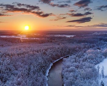
Escape to The Mountains
Dunn Rd : San Luis, CO 81152
Costilla County, Colorado
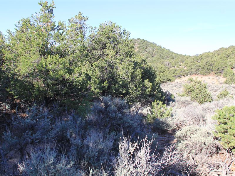
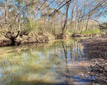
Land Description
Tired of cramped city life?
Want some space to roam free?
Buy this beautiful, undeveloped land today.
In and around Costilla County, one will find beautiful national parks, pristine lakes, majestic mountains, and other, beautiful natural attractions like waterfalls and unique rock formations. There are also five mountain peaks along the Costilla County line: Blanca, Mt Lindsey, Raspberry, Trinchera, and Cuatro.
Other key facts that make Costilla attractive:
300 days of Sunshine per year
Low Rainfall (10 inches) per year
Pricing
There are two options for paying for your land - you can finance the land for a low monthly payment, or you can pay in full at a discount.
Either way, you can reserve your land Today with the down payment, plus a one-time doc fee of - x 72 months, after a down payment
Cash Discount Price - Reserve Now on our website to make this yours today.
Activities
-Costilla county offers some of the best big game hunting in Colorado
-Ride your bike and take a trip through the breath-taking view of majestic mountains
-Go fishing in the Rio Grande River
-Try Sandboarding in the Great Sand Dunes National Park
-Camp or bring the RV on the weekends
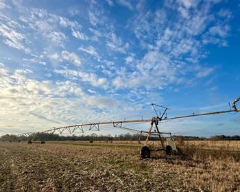
-Climate is suitable for cultivating crops & raising livestock
Nearby
-San Luis (8.7 miles)
-San Pedro (12 miles)
-Chama (13 miles)
-San Pablo (13 miles)
-Fort Garland (16 miles)
-San Acacio (17 miles)
-Blanca (20 miles)
-McClintock (21 miles)
Property Details
Apn: 702-29-340
Subdivision: Sangre DE Cristo Ranches
Street Address: Dunn Rd
City, State, & Zip Code: San Luis, CO 81152
County: Costilla
Size: 5.08 Acre
ACCESS: Direct Access to Dunn Road. Well maintained Dirt Road.
ZONING: Vacant-Residential Lot
Annual Taxes: None
IMPROVEMENTS: None
SEWER: Septic only. Must be inspected by a certified soil evaluator and verified by the county before it can be put in the ground
WATER: Well or Cistern. Contact the Division of Water Resources to obtain a well permit
POWER: Power by Solar, Wind, Generator. You can contact Xcel Energy or San Luis Valley Rural Electric Cooperative
Elevation: Low: 8559 Ft | High: 8603 Ft
Gps Coordinates (Center): 37.256503, -105.373894
Gps Coordinates (Nw): 37.257317, -105.374358
Gps Coordinates (Ne): 37.257172, -105.373164
Gps Coordinates (Sw): 37.255839, -105.371969
Gps Coordinates (Se): 37.255858, -105.373075