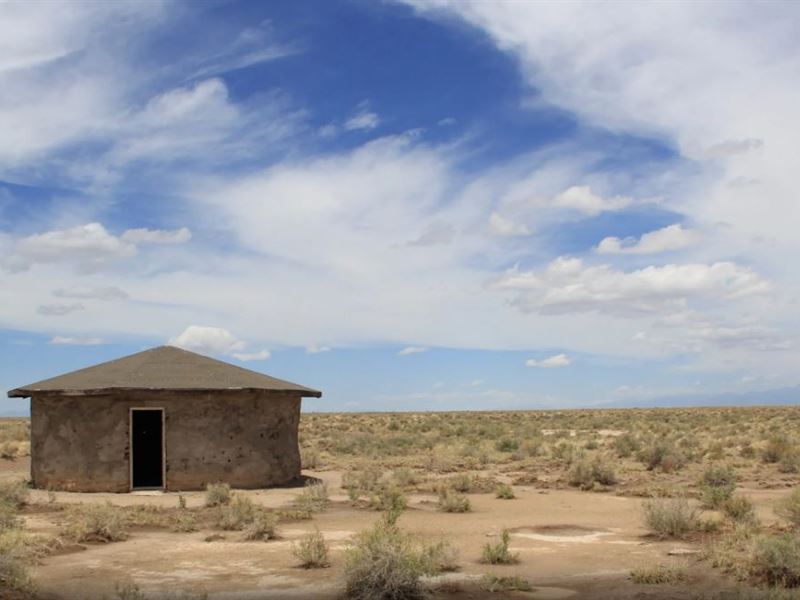
Own an Earthbag House on 4.7 Acres
Pinewood Springs Rd : Blanca, CO 81123
Costilla County, Colorado
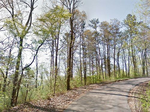
Land Description
The hard part has already been done for you: county permits, a foundation, sand, walls, windows, and a roof. All that's needed is to finish the interior to your own liking.
Make it yours.
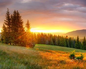
Experience Colorado's grandeur and make it your own by building a home where there is nothing but nature just waiting to be discovered.
Invest today.
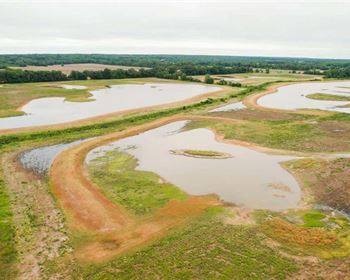
In and around Costilla County, one will find beautiful national parks, pristine lakes, majestic mountains, and other, beautiful natural attractions like waterfalls and unique rock formations. There are also five mountain peaks along the Costilla County line: Blanca, Mt Lindsey, Raspberry, Trinchera, and Cuatro.
Other key facts that make Costilla attractive:
300 days of Sunshine per year
Low Rainfall (10 inches) per year
Pricing
There are two options for paying for your land - you can finance the land for a low monthly payment, or you can pay in full at a discount.
Either way, you can reserve your land Today with the down payment, plus a one-time doc fee of - x 72 months, after a down payment
Cash Discount Price - Reserve Now on our website to make this yours today.
Activities
-Costilla county offers some of the best big game hunting in Colorado
-Ride your bike and take a trip through the breath-taking view of majestic mountains
-Go fishing in the Rio Grande River
-Camp or bring the RV on the weekends
-Climate is suitable for cultivating crops & raising livestock
Nearby
-Alamosa (17 miles)
-Fort Garland (17 miles)
-Blanca (13 miles)
-Lasauses (10 miles)
-McClintock (11 miles)
-Sanford (19 miles)
-San Acacio (17 miles)
-San Luis (25 miles)
Property Details
Apn: 703-80-450
Subdivision: San Luis Valley Ranches Unit 22
Street Address: Pinewood Springs Rd
City, State, & Zip Code: Blanca, CO 81123
County: Costilla
Size: 4.7 Acres
ACCESS: Direct Access to Pinewood Springs Rd | 20 mins drive to Us-160 Alamosa
ZONING: Estate Residential
Annual Taxes: None
IMPROVEMENTS: None
SEWER: would be Septic
WATER: would be Well or Cistern
POWER: Solar, Wind or contact local electric company - Xcel Energy
Elevation: 7587 Ft (Low) | 7591 Ft (High)
Gps Coordinates (Center): 37°22'41.03 N, 105°41'11.70 W
Gps Coordinates (Nw): 37°22'44.31 N, 105°41'13.00 W
Gps Coordinates (Ne): 37°22'39.95 N, 105°41'7.51 W
Gps Coordinates (Sw): 37°22'41.99 N, 105°41'15.90 W
Gps Coordinates (Se): 37°22'37.61 N, 105°41'10.40 W