Mountains as Far as The Eye Can See
Chiloquin, OR 97624
Klamath County, Oregon
Land Description
Owner Financing:
- down (plus the doc fee)
- down and for 84 months (plus prorated taxes and note maintenance fee)
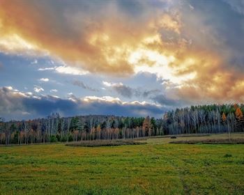
Spend your days hiking and mountain biking, golfing at an array of courses, freshwater fishing at over 100 lakes, rivers and streams, flying high at Oregon's longest zipline, or just enjoying the beautiful views from your picturesque new getaway.
If you're a birdwatcher, it's paradise. You'll be along the Pacific Flyway - a major route for migratory birds from Alaska to Patagonia in South America. You can also head into the town of Klamath Falls to visit the Klamath County Museum, Moore Park, Badger Run Wildlife Rehab, the Baldwin Hotel Museum, and the Favell Native American Museum.
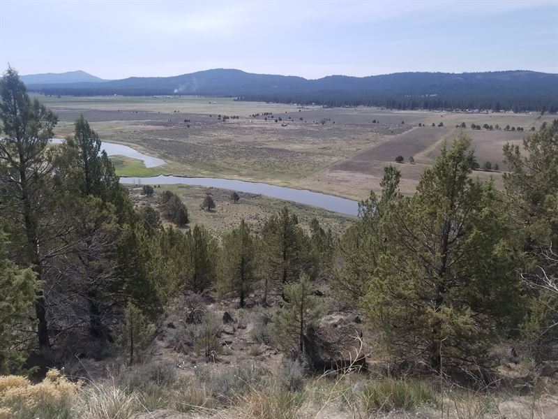
You'll enjoy spectacular views of the Sprague River Valley and the Sprague River itself from the property. Less than 1,000Ft to the river from your property, talk about a fisherman's paradise. For a change of scenery, head into the mountains for hiking, biking or skiing. Rent a paddle board at the nearby lakes or just relax at your family camp.
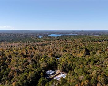
Site built, mobile homes & manufactured homes are approved for the site and there's no time limit to build. Camping (tent or RV) is allowed for up to 21 days every 6 month period. Your acreage is moderately vegetated with Junipers and sage brush. While there are no power lines running right along the main paved road that forms the northern edge of the property, cellular service is strong. This property is ready and waiting for you to call it home.
Subdivision: Nimrod River Park 4th Addition
STREET Address: N/A, Co Hwy 599 (Drews Rd.), Chiloquin, OR 97624
State: Or
COUNTY: Klamath County
Zip: 97624
Size: 5.22 acres
LOT Dimensions: 343 feet (Eastern Leg) x 1,071 feet (Southern Leg) x 410 feet (Northern Leg) x 730 feet (Western Leg)
Apn: 328354
Legal Description: Block 29, Lot 1 of the 4th Addition to Nimrod River Park as shown on the map in official records of said County.
Lat/Long Coordinates:
Nw: 42.465542, -121.492197
Ne: 42.465644, -121.490696
Sw: 42.464750, -121.494677
Se: 42.464701, -121.490702
Additional Coordinates:
W: 42.464743°, -121.494675°
Elevation: 4,420 feet
ANNUAL Taxes: Approx. per year
ZONING: CO - (R-2) Rural Residential - No time limit to build. Site built, mobile homes & manufactured homes are okay. The building code that Klamath County uses allows houses as small as 300 sq. ft. RV's are allowed for camping but not as a permanent residence. Camping is allowed for up to 21 days every 6 month period. Permits only required if staying for more than one week at a time. Tiny homes on trailer frames are registered by DMV as an RV so fall under the camping regulations. Contact Klamath County, OR Planning and Zoning Department for more info.
HOA/POA: No
IMPROVEMENTS: None
ACCESS: Property can be accessed via Co Hwy 599, a paved road.
WATER: Would be a well, water haul and holding tank or other similar option
SEWER: Would be by Septic
UTILITIES: There are power lines along Co Hwy 599. Power could also be by solar, wind or generator, Phone by cellular, satellite Tv/Internet/Phone