CR 21 Farm
County Road 21 : Damon, TX 77430
Brazoria County, Texas
138.65 Acres
Expired Listing
Land Description
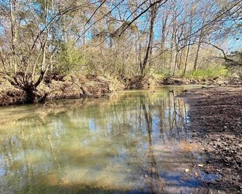
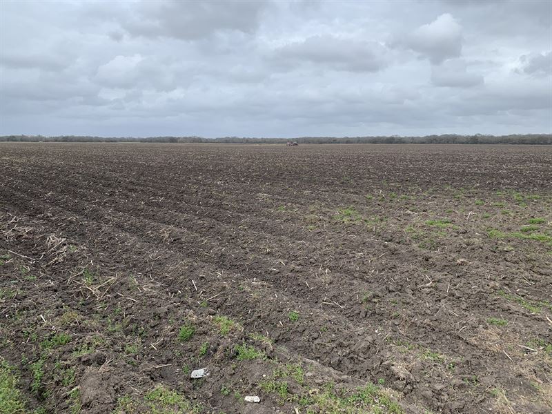
The CR 21 Farm is located just west of State Highway 36 at the dead-end of County Road 21. The property is all open row crop farmland with its predominant soil type being Lake Charles Clay. The farm contains 138.653 acres and the western portion of the land is crossed by several pipeline easements. The property does not appear to include any flood plain. It drains to the west toward Varner Creek which is located off the property to the west.
Land features, descriptions, details, directions, sales history, photos, maps, boundaries and files are deemed reliable and provided "as is" without guarantee, warranty, representation, expressed or implied by LANDFLIP or its advertisers, and is subject to errors, omissions, sale or withdrawal. Buyers should exercise their own due diligence when purchasing real estate. LANDFLIP is not a party to any portion of the real estate transaction between a buyer and seller on this site. Contact the seller directly regarding this listing.