Robinson Pond Property
County Road 21 : Prattville, AL 36067
Autauga County, Alabama
Land Description
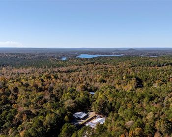
Location: Autaugaville, Autauga County on CR 21 just off the Alabama River
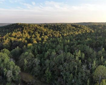
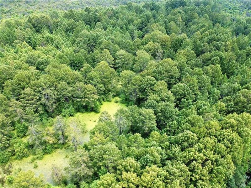
TERRAIN: Hydric Soils, Wetlands, and Duck Habitat
LAND Use: Wetland Mitigation - Ducks and Waterfowl -
Special Features: Wetland & Streamside Mitigation Potential
Special investment opportunity for Wetland Mitigation banking and duck hunting - This property is located in Autauga County in the water shed that includes the majority of Montgomery County, Autauga County, some of Elmore and Lowndes Counties, and south Chilton County in Alabama.
With a total of approximately 471.42 acres there is around 455 acres in Wetlands. Additionally there are over 9300 linear feet of man-made streams that were added over the years for farming and drainage which will translate in to potential Streamside Mitigation credits. Other features that improve the investment for Mitigation include invasive species such as Chinese Privet and Popcorn Trees which have grown throughout the property, 1700 linear ft of an abandoned rail road, and several small bridges and dams. There is only one other Mitigation Bank in this watershed that is currently operating. This particular bank has run out of streamside credits and only has ¼ of the mitigation credits left from its inception.
Duck and Waterfowl - The property sits less than a half mile from the Alabama River which is a natural flyway for numerous species of big ducks as well as wood duck. On site there are numerous types of duck habitat ranging from small half acre woody holes to large tupelo gum swamps.
Recreation and Timber - There is 208 acres of natural regeneration wetland timber consisting of Cypress, Black Willow, and Tupelo Gums and individual pines that will be poles in the near future.
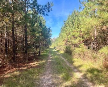
Access - This property has three seperate access points through recorded easements off of County Road 21. This allows the landowner to convienently access the property in multiple points rather than traversing through the whole property to get from one end to the other.