10 Ac Beautiful Malheur County, OR
Vale, OR 97901
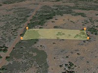
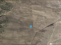
Malheur County, Oregon
Land Description
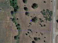
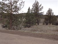
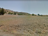
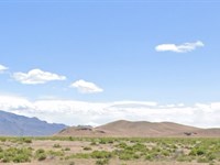
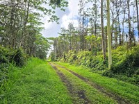
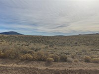
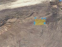
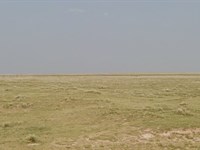
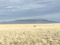
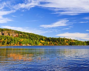
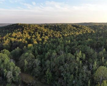
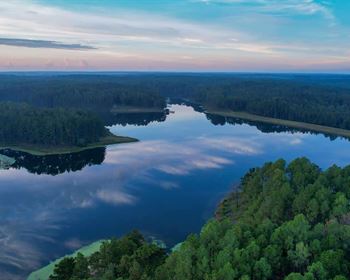
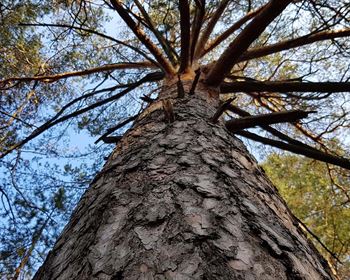
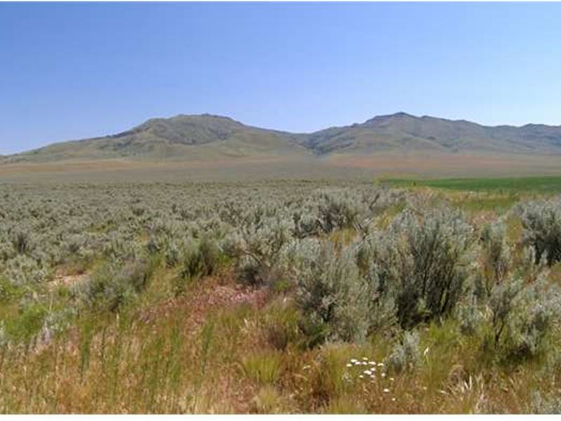
10 acres of raw land located in Southeastern Oregon, 5 miles south of Highway 95. Under C-A2 Zoning, a home is not permitted, however this makes a perfect Agricultural or Recreational property. This is extremely isolated and rural property, ideal for a true getaway of fishing, camping, hiking or other outdoor activities. Parcel is also adjacent to 445 acres of BLM Land to the East.
It is located near the Pillars of Rome, 100-Foot high formations that measure about five miles long and two miles wide and were a landmark to pioneers traveling the Oregon Trail. It is also near Chandler State Wayside. The park has picnic tables, drinking water, and access to Crooked Creek, home to rainbow trout and crayfish.
Be sure to reference L03613-1 in any correspondence.
Helpful Links:
Malheur County
Malheur County Departments
$1 down payment and $199 document fee for lot L03613-1 in Oregon. Your welcome packet, contract, and digital payment coupon book for your monthly payments will be sent to the shipping and email address you provide.
This information contained in this listing is deemed reliable, but not guaranteed. Amato-Y, LLC (Dba is not responsible for the accuracy of this information. The buyer is responsible for verifying all information with the county. The land is being sold "as-is" with no warranties either expressed or implied as to the location, condition, accessibility, terrain, build-ability, or information contained in this listing. Sizes advertised are approximate. Buyers are required to perform all due diligence prior to making a down payment. By buying you are acknowledging that you have completed all due diligence and that you understand legal commitment to purchase. Dollar Land Store does not issue refunds, Once you have completed your due diligence and are prepared to purchase a property you may make the down payment on the property; however, if you decided not to keep the property or terminate the "standard agreement of sale," the deposit, document fees, and any payments are non-refundable. Please review the Dls: Terms and Conditions Prior to purchase.
Land Maps & Attachments
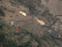
Directions to Land
2 h 14 min (36.5 miles)
via Antelope Flat Rd
Fastest route
Malheur County, Oregon
Head north
0.8 mi
Sharp left
10.6 mi
Continue onto Turner Rd
3.5 mi
Turn right to stay on Turner Rd
2.0 mi
Continue onto Antelope Flat Rd
3.7 mi
Turn left to stay on Antelope Flat Rd
3.7 mi
Turn left to stay on Antelope Flat Rd
2.9 mi
Turn right onto Crowley Rd
6.8 mi
Slight right to stay on Crowley Rd
2.0 mi
Turn right
0.4 mi
43.5183962, -117.7325273
These directions are for planning purposes only. You may find that construction projects, traffic, weather, or other events may cause conditions to differ from the map results, and you should plan your route accordingly. You must obey all signs or notices regarding your route.
More Land Details
Land Price History
More Land from Ross Amato
 1 AC : $15K
- 1 AC : $15K
- 1.1 AC : $15K
- 10 AC : $17K
- 0.2 AC : $19.5K
- 1 AC : $5.9K
- 5 AC : $10K
- 2.3 AC : $7K
- 653.3 AC : $249K
- 35 AC : $25K
- 5 AC : $10K
- 1.1 AC : $5.9K