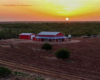
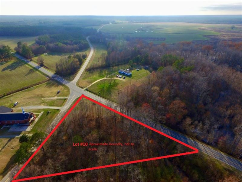
Gorgeous Tillery Pines Lot 10
Tillery, NC 27887
Halifax County, North Carolina
Land Description
County: Halifax
State: Nc
Acreage: 1.85
Cash Price: Down: Payment: a month
Association Fees: None
Electricity: Underground power on all lots
Water: By Well or city hookup
Waste: By Septic, perc test on file
Zoning: Res/Ag
Covenants: None
Access: County Road Frontage
Time-Limit To Build: None
Liens & Judgments: None
Property Description: Professionally surveyed residential lots.
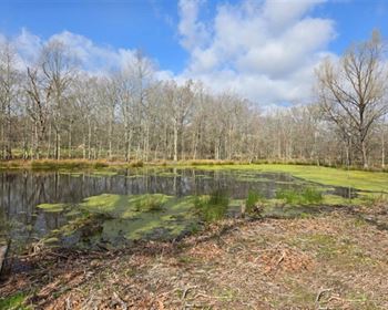
All lots have road frontage. All lots are buildable. All lots have underground power. All lots have had perc test and is on file. City water available.
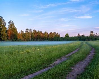
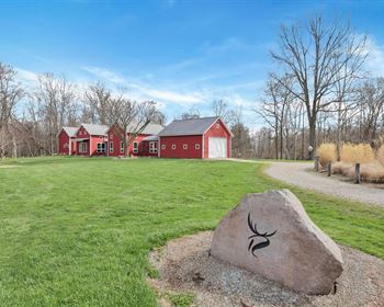
Come enjoy the serenity of Tillery and build that home you have always wanted.
These ranchettes are located at the intersection of Gravel Pit Road and US HWY 561 in Tillery, Nc.
Nashville and Rocky Mount can be reached within 40 minutes and Wilson in less than an hour. Nash and Wilson County are thriving communities with convenience to the metropolitan areas of Raleigh, Durham and Chapel Hill. If you have been looking for an affordable home site, then this is the property for you. Your neighboring properties are primarily all wooded tracts of timber and farmland. Roanoke Rapids Lake is known for top-notch fishing and duck hunting. The lake is located north of Tillery, Roanoke Rapids, NC and can be reached within 35 minutes. Located in northern Halifax County, along the former Roanoke River channel that forms North Carolina's common boundary with Virginia, Roanoke Rapids Lake is a moderate-sized body of water of more than 4,600 acres. However, it's large enough to support a sizeable winter population of diving ducks. Puddle ducks have always migrated along the Roanoke River's floodplain, using the hardwood bottoms for feeding, resting and wintering habitat. Downstream of Roanoke Rapids Lake these migratory puddle ducks, especially mallards and wood ducks, still hold sway as the predominant species in the river bottoms.
