.31 Acre Only $1 Down, $199/Mo
Great Cacapon, WV 25422
Morgan County, West Virginia
Land Description
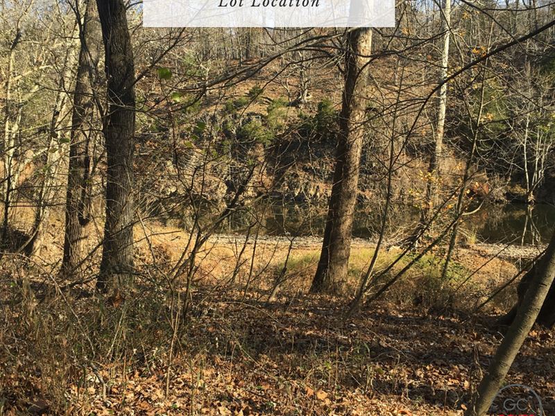
The lot has deeded access to the Cacapon River.
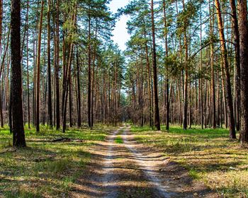
The property is about 15 minutes to Green Ridge State Forest, 40 minutes to Ice Mountain, and about 2 hours and 15 minutes to Washington DC, Baltimore, and Harrisburg. There are many recreational opportunities in the area, including fishing and hunting, hiking and camping.
According to our research, there is no zoning in Morgan County. Please note that, given the proximity to the river, this property is likely not buildable and would be best used as a recreational property. It is in the AE Regulated Floodway zone.
Cash Discount Purchase Price: + Document Fee
We accept payment via PayPal, wire transfer, ACH transfer, and Zelle.
Seller Financing down with a document fee and per month for 41 months at 0% Apr. No prepayment penalty. No credit checks.
Hold Price: we can hold the property for you for 72 hours while you decide whether you want to purchase. If you buy the property, this will count toward the purchase price.
Title And Use
What you can or cannot legally do on the land is controlled by the local government, not by us or any seller. Please contact the county, providing them with the parcel number, to confirm zoning, access, and available utilities.
About Morgan County And The Eastern Panhandle
According to WVExplorer, The Eastern Panhandle Region of eastern West Virginia spans a landscape of broad valleys drained by the Potomac, Cacapon, and Shenandoah rivers and bounded on the east by the Blue Ridge. It has historically been a vacation destination. The nation's first public baths were established here at Bath, or Berkeley Springs. Horse racing, near Charles Town, and heritage tourism are principal attractions in the panhandle. The national historical park at Harpers Ferry, and the Antietam National Battlefield, near Shepherdstown, attracts thousands of visitors annually. The region is often referred to as a bedroom community of the Washington, D.C., area. Tourism and agriculture are primary industries.
Lot Details
Assessors Parcel Number: 33-04-041B-0013-0000
Approximate Elevation: 560 Ft
GPS Coordinates (approx.): Please note that the GPS coordinates are approximate. They come from public assessor GIS data and are fairly accurate, but to find the exact boundaries of the property, it is best to hire a local surveyor.
Center: 39.4958, -78.3822
39.4959, -78.3819
39.4960, -78.382
39.4960, -78.3820
39.4956, -78.3824
39.4955, -78.3822
Annual Taxes: No zoning
Time Limit to Build: None as far as we are aware
Access: Platted road access, but no physical access
Contacts: Morgan County Planning