Arapahoe County Range Land
Peoria, CO 80103
Arapahoe County, Colorado
Land Description
Price Acres 342.6526
Closest Town Byers
County Arapahoe CountyLandTotal Acres 342.6526
Deeded Acres 342.6526
Zoning Agriculture
Elevation 5,272 feet
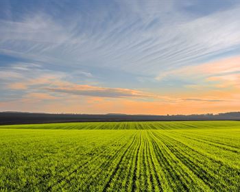
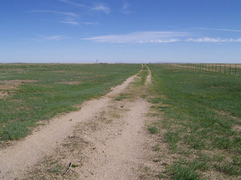
Topography Relatively Flat to Gently Rolling
Vegetation Native Grasses and Plants
Irrigated Acres 0.00
Pasture/Grass/Crp Acres 342.6526
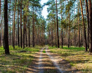
Creek Bottom Acres 60 on Parcel 3
Estimated Taxes of Land Size Assessor/Tax Data
ImprovementsHigh quality six 6 strand barb wire fence with steel fence posts is in place on the east and north perimeter of Parcels 1 & 2 on the north side of I-70. Remaining fencing exists around the balance of the boundaries of the three parcels which in areas may need repairs and or replacement along with the installation of appropriate gates and posts. Water wells 2 and windmills 2 are located on the property. One of the wells appears to be functional along with the windmill. The second well/windmill is non-operational at this time and will need work epair to be put back into service.
RecreationATV's and 4 4 vehicles.
AgricultureProperty has been used as pasture/grazing for cattle and or other livestock. Potential use for farming and crops or possible eligibility for the Conservation Reserve Program CRP.
Water/Mineral Rights & Natural ResourcesAll water and mineral rights/interests, if any, will be conveyed with the property.
General OperationsN/A
Region & ClimateProperty is located less than one hour from downtown Denver on Interstate 70, right off Exit 322 Peoria. The High Plains climate has the following averages Byers, CO
Annual High Temperature-65 degrees F
Annual Low Temperature-34 degrees F
Average Annual Precipitation-15.69 inches
Average Annual Snowfall-45 inches
Annual Number of Days With Sunshine-Approximately 300
Local events in the area include rodeos and the Annual Turkey Shoot Byers.
Historybyers, initially known as the town of Bijou, was founded by Oliver P. Wiggins, a pioneer scout. Upon arrival of the railroad in 1870, the town was re-named in honor of William N. Byers, owner and editor of the now defunct Rocky Mountain News. The town was platted in 1889.
Located 40 miles east of Denver, along Interstate 70, it has about 1,500 residents. The economic backbone of the community is farming and ranching, being home to the world's largest dry-land farming family.
LocationProperty is located six 6 miles southeast of Byers, Colorado east bound on I-70 and six 6 miles northwest of Deer Trail, Colorado west bound on I-70. Denver International Airport is approximately 45 miles away from the described lands.