13.3 Acres Near White Mountain Lake
Mustang Ln : Show Low, AZ 85901
Navajo County, Arizona
Land Description
Beautiful property close to the lake And golf. This Property IS Worth Over Live OFF Grid ON This Large Property.
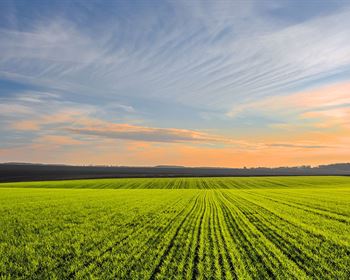
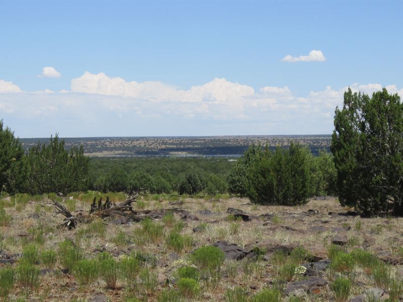
Peaceful living awaits you on this vast 13.33-Acre property we have for sale in Navajo County, Arizona. This lot is nestled on a prime location in the sprawling city of Show Low.
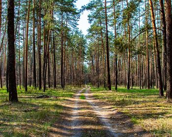
Show Low is a safe bet for today's traveler. Start your visit at the Show Low Historical Museum, which has amassed a collection of quirky stuff from locals, including quilts, military memorabilia, blacksmithing tools, and barbershop equipment. There's also gorgeous hiking, biking, and horseback riding, in addition to the 50-mile Maverick Motorized Trail.
Show Low is a safe bet for today's traveler. Start your visit at the Show Low Historical Museum, which has amassed a collection of quirky stuff from locals, including quilts, military memorabilia, blacksmithing tools and barbershop equipment. There's also gorgeous hiking, biking and horseback riding, in addition to the 50-mile Maverick Motorized Trail.
Nearby Destinations:
1.6 miles to White Mountain Lake
11 miles to Downtown Show Low (Auto Stores, Grocery Stores, Home Improvement Stores, Etc.)
14 miles to Snowflake, Az
132 miles to Flagstaff, Az
Taxes paid current.
Navajo County Building and Planning -
No prepayment penalty.
Comparable Land For Sale On Zillow:
12.5 Acres For Acres For Details:
Discount Cash Price: Option: minimum Down, minimum at 9.9% interest
Property Details
Parcel : 304-15-012A
County: Navajo
Parcel Size: 13.33 acres
Legal Description: Section 21,T11n,R22e: BEG N4 Cor; TH N88 04'29 E 439.95'; TH S00 42'54 W 1330.52'; TH S88 14'55 W 444.86'; TH N00 55'46 E 1329.41' Tpob. OUT OF 204-15-012 For2003roll
Gps Center Coordinates: 34.343200, -110.015300
Gps Coordinates (Corners):
34.344831, -110.016129
34.344876, -110.014658
34.341219, -110.016138
34.341263, -110.014730
Elevation: 6,185 ft
Access to Property (Dirt or Paved): Dirt
Terrain: Flat
Tax Amount: Doc/Prep Fee: 9