Blue Bucket Creek, Recreational
T18s R34e Wm Tax Lot 600 : Burns, OR 97720
Harney County, Oregon
Land Description
This Eastern Oregon Recreational Property is located in the Malheur River Hunting Unit approximately 13 air miles NW of Drewsey Oregon. The land is totally surrounded by BLM ground and is mile away from the Malheur National Forest. There is good road access from a gravel road that is only 8 miles off a paved county road.
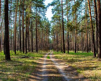
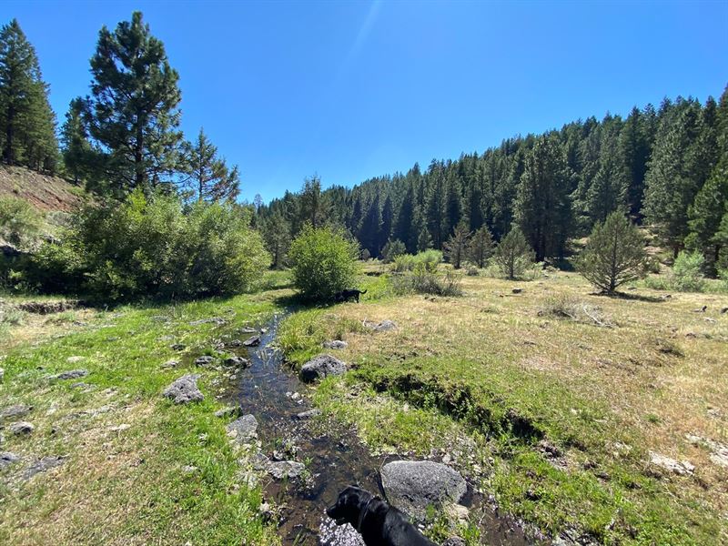
The property has Blue Bucket Creek running through the land for over of a mile. With over 300 foot elevation from the creek to the top of the hill, the terrain includes rimrock outcroppings, pine, fir and willow trees with sage and some juniper on the top. This is a great area to see Mule Deer & Rocky Mountain Elk.
The improvements are a 12 x 16 building that is newly constructed plus a good ole outhouse. This is a great place to escape to and qualifies for 2 LOP tags. Don't let this property get away from you.
LOCATION 55 miles NE of Burns Oregon
LEGAL Desc. T18s R34e WM Tax Lot 600
Acreage 280 acres
IMPROVEMENTS 12' x 16' one room building with 4' porch
WATER Over mile of Blue Bucket Creek
Taxes 2019/2020