Residential and Agricultural Land
Holbrook, AZ 86025
Apache County, Arizona
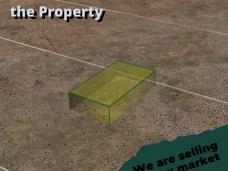
1.08 Acres
Expired Listing
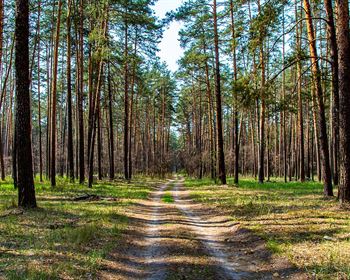
Land Description
Nearby golf course and several parks.
Half an hour way from a shopping center.
Apn 211-25-176
County Apache
State Az
Closest City Holbrook
Zip 86025
Size (Acres) 1.08
Gps Coordinates, Ne 34.991366, -109.811979
Gps Coordinates, Nw 34.991368, -109.812511
Gps Coordinates, Sw 34.990560, -109.812505
Gps Coordinates, Se 34.990557, -109.811973
Annual Taxes 4.04
Zoning Agricultural Residential
HOA/POA Not part of an Hoa
Improvements None
ACCESS Dirt Road Access
WATER Drill a well or haul water
UTILITIES Off-grid
TERMS Pricing down, /18 months
Cash Pricing for raising some animals and growing soil crops.
Lock it up now.
Land features, descriptions, details, directions, sales history, photos, maps, boundaries and files are deemed reliable and provided "as is" without guarantee, warranty, representation, expressed or implied by LANDFLIP or its advertisers, and is subject to errors, omissions, sale or withdrawal. Buyers should exercise their own due diligence when purchasing real estate. LANDFLIP is not a party to any portion of the real estate transaction between a buyer and seller on this site. Contact the seller directly regarding this listing.